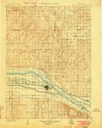
1902 Map of North Platte
USGS Topo · Published 1902About this map
The confluence of the North Platte River and the South Platte River forms the industrial and agricultural heart of this 1902 survey. The burgeoning settlement of North Platte serves as the focal point for a complex irrigation network, where numerous engineering projects like the North Platte Canal, Paxton and Hershey Canal, and South Side Canal divert water across the plains. This infrastructure highlights the era's transition toward intensive irrigated farming in Nebraska's sandhills and river valleys.
Find a feature on this map
44 named features on this map. Tap any name to fly to it.
Don’t see what you’re looking for? This feature index may not catch every label — zoom into the map to look around manually.
Map Details
Editions of this 1902 North Platte Map
3 editions found
Other maps of this area
1898 · Paxton
USGS Topo · 1:125,000
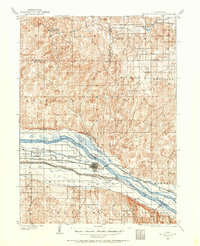
1899 · North Platte
USGS Topo · 1:125,000
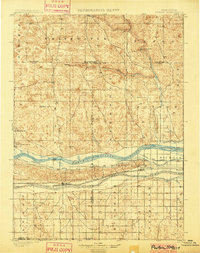
1901 · Paxton
USGS Topo · 1:125,000
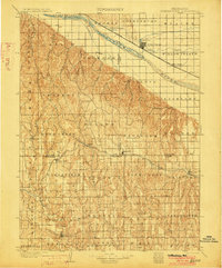
1902 · Gothenburg
USGS Topo · 1:125,000
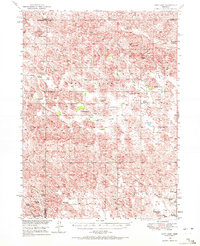
1949 · Cody Lake
USGS Topo · 1:62,500
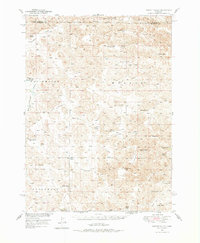
1949 · Wright Valley
USGS Topo · 1:62,500
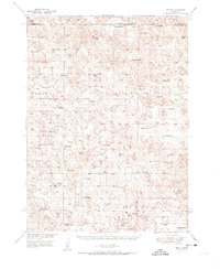
1951 · Tryon
USGS Topo · 1:62,500
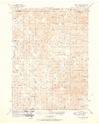
1951 · Wright Valley
USGS Topo · 1:62,500

1951 · Cody Lake
USGS Topo · 1:62,500
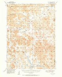
1951 · Hoagland
USGS Topo · 1:62,500