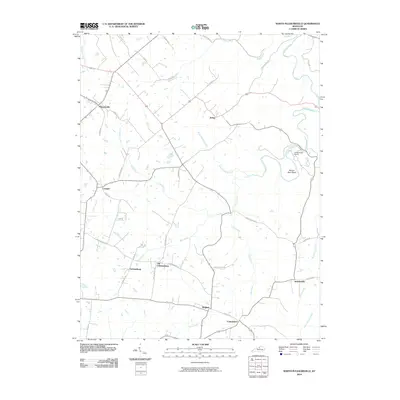
2010 Map of North Pleasureville
USGS Topo · Published 2010About this map
Pleasureville and Bagdad anchor a network of rural communities across this Kentucky landscape, where small hamlets like Consolation and Jacksonville remain connected by historic roads such as Magruder Pike. The geography is defined by a dense drainage system of creeks and forks, including the winding Dutch Fork and Sixmile Creek, which eventually reach the Salt River in the north. This 2010 survey highlights a transition in local settlement patterns, notably with Old Christianburg and its newer namesake, Christianburg, both established along the southern corridor. Cultural and recreational sites like Cedarmore Camp near Beaver Dam Bend indicate a landscape used for both agriculture and community gatherings, while the presence of Cemetery Rd near the towns points toward established family roots in the area.
Find a feature on this map
46 named features on this map. Tap any name to fly to it.
Don’t see what you’re looking for? This feature index may not catch every label — zoom into the map to look around manually.
Map Details
Editions of this 2010 North Pleasureville Map
This is the sole edition of this map. No revisions or reprints were ever made.
Other maps of this area

1906 · Lockport
USGS Topo · 1:48,000

1908 · Lockport
USGS Topo · 1:62,500

1922 · Frankfort
USGS Topo · 1:48,000

1923 · Waddy
USGS Topo · 1:48,000

1924 · Frankfort
USGS Topo · 1:62,500

1925 · Mount Eden
USGS Topo · 1:48,000

1927 · Mount Eden
USGS Topo · 1:62,500

1928 · New Castle
USGS Topo · 1:48,000

1932 · New Castle
USGS Topo · 1:62,500

1953 · Gratz
USGS Topo · 1:24,000