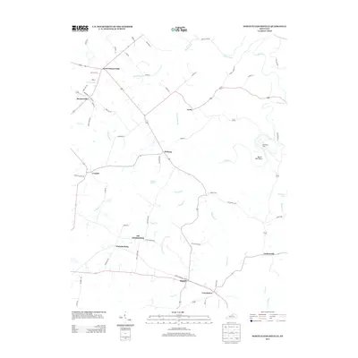
2013 Map of North Pleasureville
USGS Topo · Published 2013About this map
North Pleasureville and Pleasureville anchor the northern landscape of this region, which is defined by a dense network of country roads and creek valleys. Moving south, the map reveals a string of historic rural settlements including Cropper, Elmburg, and Defoe, each connected by routes like Bantas Fork RD and Christianburg RD. The geography is heavily influenced by the drainage patterns of Sixmile Cr, Dutch Fork, and Indian Fork, which carve through the terrain and create distinctive landmarks like Beaver Dam Bend.
Find a feature on this map
69 named features on this map. Tap any name to fly to it.
Don’t see what you’re looking for? This feature index may not catch every label — zoom into the map to look around manually.
Map Details
Editions of this 2013 North Pleasureville Map
This is the sole edition of this map. No revisions or reprints were ever made.
Other maps of this area

1906 · Lockport
USGS Topo · 1:48,000

1908 · Lockport
USGS Topo · 1:62,500

1922 · Frankfort
USGS Topo · 1:48,000

1923 · Waddy
USGS Topo · 1:48,000

1924 · Frankfort
USGS Topo · 1:62,500

1925 · Mount Eden
USGS Topo · 1:48,000

1927 · Mount Eden
USGS Topo · 1:62,500

1928 · New Castle
USGS Topo · 1:48,000

1932 · New Castle
USGS Topo · 1:62,500

1953 · Gratz
USGS Topo · 1:24,000