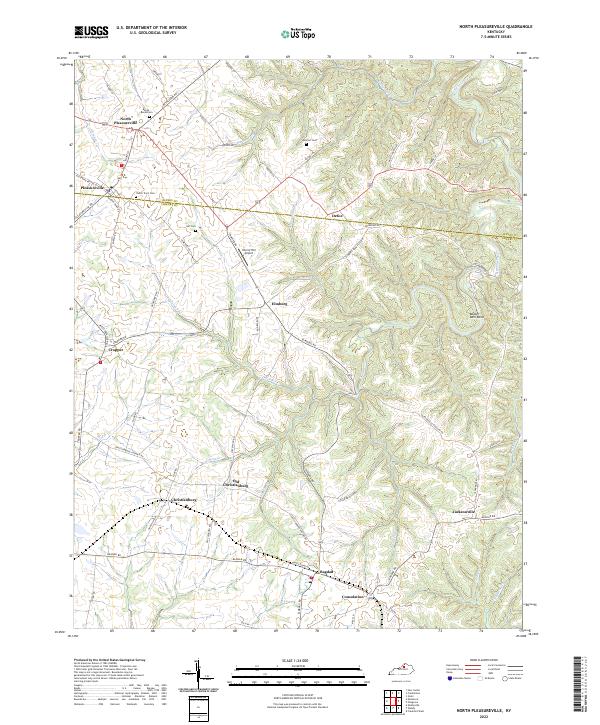
2022 Map of North Pleasureville
USGS Topo · Published 2022About this map
North Pleasureville and its neighbor Pleasureville anchor the northern reaches of this landscape, where the boundary between Henry and Shelby counties follows the ridgelines. The area is defined by a dendritic drainage pattern of creeks like Sixmile Creek and Dutch Fork, which have carved deep valleys into the Kentucky countryside. This geography dictated a settlement pattern of small, dispersed communities linked by winding roads that often follow the natural contours of the hills.
Find a feature on this map
67 named features on this map. Tap any name to fly to it.
Don’t see what you’re looking for? This feature index may not catch every label — zoom into the map to look around manually.
Map Details
Editions of this 2022 North Pleasureville Map
This is the sole edition of this map. No revisions or reprints were ever made.
Historical Maps of Consolation Through Time
11 maps found

1923 Waddy
Shelby County, KY

1925 Mount Eden
Shelby County, KY

1927 Mount Eden
Shelby County, KY
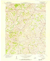
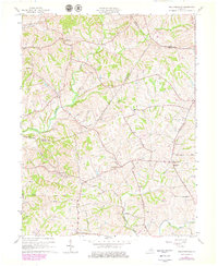
1954 Ballardsville
Shelby County, KY
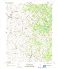
1954 North Pleasureville
Shelby County, KY
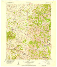
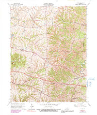
1954 Waddy
Shelby County, KY
1961 Ballardsville
Shelby County, KY
1965 Waddy
Shelby County, KY
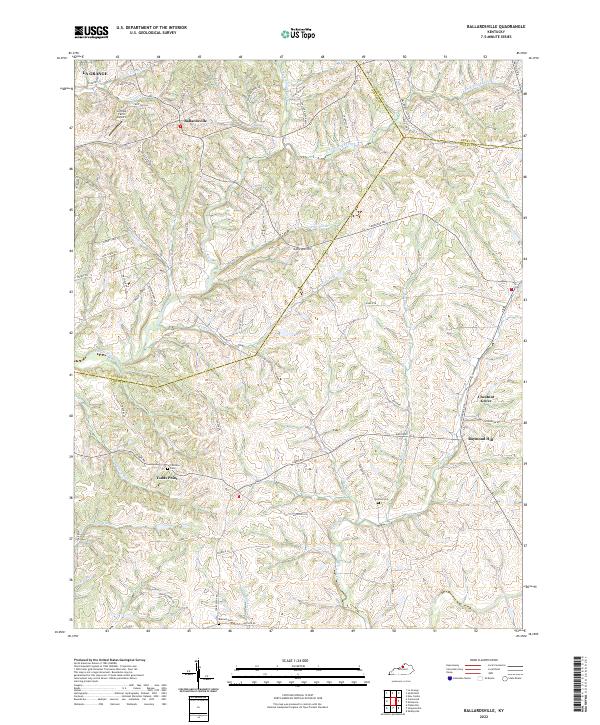
2022 Ballardsville
Shelby County, KY
2022 North Pleasureville
Shelby County, KY
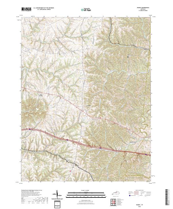
2022 Waddy
Shelby County, KY