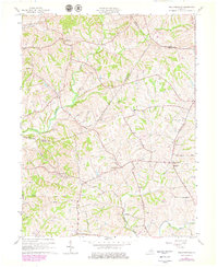
1961 Map of Ballardsville
USGS Topo · Published 1979About this map
Ballardsville and the surrounding farmland of Shelby and Oldham Counties are defined by a complex network of stream valleys during the mid-20th century. The topography is shaped by the various forks of Floyds Fork and numerous runs, including Lick Run and Hebron Run, which carve the landscape between prominent heights like Gathright Hill and Lincolnfellow Hill. This 1961 survey, updated with late-1970s data, illustrates a rural Kentucky landscape where local life centered around small crossroads and family-named infrastructure.
Find a feature on this map
36 named features on this map. Tap any name to fly to it.
Don’t see what you’re looking for? This feature index may not catch every label — zoom into the map to look around manually.
Map Details
Editions of this 1961 Ballardsville Map
3 editions found
Other maps of this area

1923 · Waddy
USGS Topo · 1:48,000

1925 · Mount Eden
USGS Topo · 1:48,000

1927 · Mount Eden
USGS Topo · 1:62,500

1928 · New Castle
USGS Topo · 1:48,000

1929 · Taylorsville
USGS Topo · 1:62,500

1932 · New Castle
USGS Topo · 1:62,500

1932 · La Grange
USGS Topo · 1:62,500

1951 · Crestwood
USGS Topo · 1:24,000

1951 · Fisherville
USGS Topo · 1:24,000

1954 · Ballardsville
USGS Topo · 1:24,000