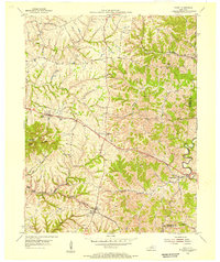
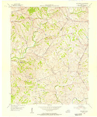
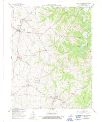
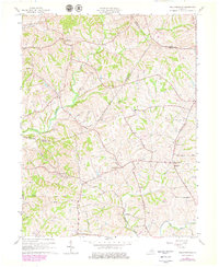
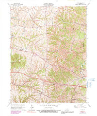
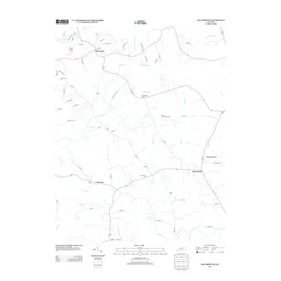
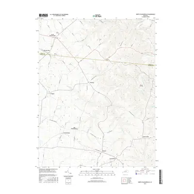
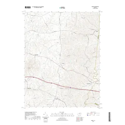
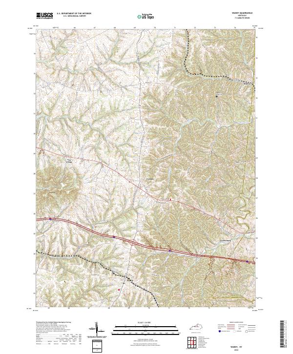
1954 Map of Waddy
USGS Topo · Published 1955About this map
Waddy and the surrounding agricultural lands of Shelby County are detailed in this mid-1950s survey. The landscape is defined by the prominent Jeptha Knob and a series of ridges, including Beech Ridge and Hemp Ridge, which directed the paths of early transportation. The Southern railroad provides a vital link through the village of Waddy, while the Midland Trail cuts across the northern section, passing through Clay Village and past the Henry Clay Sch. Numerous rural landmarks are preserved here, from the Buffalo Lick Ch to small family cemeteries scattered throughout the hills. The intricate drainage network of Guist Creek, Benson Creek, and Tick Creek illustrates the complex topography that shaped local settlement patterns and property lines before the era of modern highway expansion.
Find a feature on this map
31 named features on this map. Tap any name to fly to it.
Don’t see what you’re looking for? This feature index may not catch every label — zoom into the map to look around manually.
Map Details
Editions of this 1954 Waddy Map
This is the sole edition of this map. No revisions or reprints were ever made.
Historical Maps of Hatton Through Time
23 maps found

1923 Waddy
Shelby County, KY

1925 Mount Eden
Shelby County, KY

1927 Mount Eden
Shelby County, KY
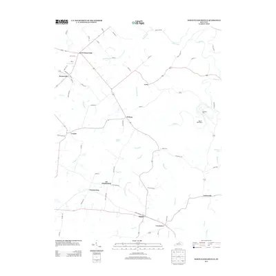
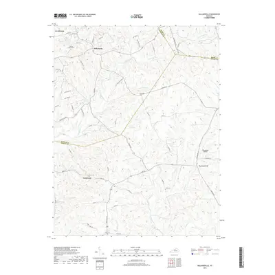
1954 Ballardsville
Shelby County, KY
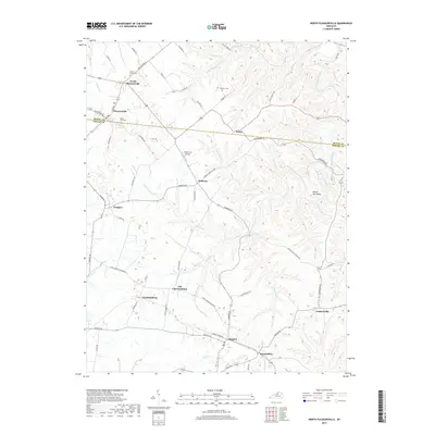
1954 North Pleasureville
Shelby County, KY
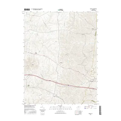
1954 Waddy
Shelby County, KY
1961 Ballardsville
Shelby County, KY
1965 Waddy
Shelby County, KY
2010 Ballardsville
Shelby County, KY
2010 North Pleasureville
Shelby County, KY
2010 Waddy
Shelby County, KY
2013 Ballardsville
Shelby County, KY
2013 North Pleasureville
Shelby County, KY
2013 Waddy
Shelby County, KY
2016 Ballardsville
Shelby County, KY
2016 North Pleasureville
Shelby County, KY
2016 Waddy
Shelby County, KY
2019 Ballardsville
Shelby County, KY
2019 North Pleasureville
Shelby County, KY
2019 Waddy
Shelby County, KY
2022 Ballardsville
Shelby County, KY
2022 North Pleasureville
Shelby County, KY
2022 Waddy
Shelby County, KY