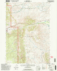
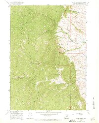
1993 Map of North Ridge
USGS Topo · Published 1997About this map
The Old Military Reservation Boundary bisects this Wyoming landscape, marking a historical transition across the northern reaches of the Bighorn National Forest. Significant water management features dominate the eastern terrain, including the Johnson County Ditch and the Upper French Creek Road Ditch, which redirect flow through a complex system of aqueducts and stock tanks. High-elevation landmarks like Grouse Mountain and Bald Ridge overlook numerous drainage systems such as Grommund Creek and Bull Creek. In the south, Elgin Park provides a notable clearing amidst the timber, while various human developments like the Radio Tower and Trailer Park appear near the Upper French Creek Road. This 1993 revision by the U.S. Forest Service reflects a landscape defined by ranching infrastructure and mountain conservation.
Find a feature on this map
34 named features on this map. Tap any name to fly to it.
Don’t see what you’re looking for? This feature index may not catch every label — zoom into the map to look around manually.
Map Details
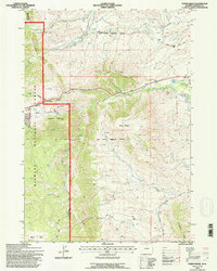
Editions of this 1993 North Ridge Map
2 editions found
Other maps of this area

1900 · Fort McKinney
USGS Topo · 1:125,000

1903 · Fort McKinney
USGS Topo · 1:125,000

1955 · Sheridan
USGS Topo · 1:250,000

1958 · Sheridan
USGS Topo · 1:250,000

1962 · Sheridan
USGS Topo · 1:250,000

1967 · Lake De Smet West
USGS Topo · 1:24,000

1967 · Caribou Creek
USGS Topo · 1:24,000
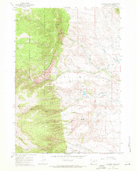
1967 · Klondike Ranch
USGS Topo · 1:24,000
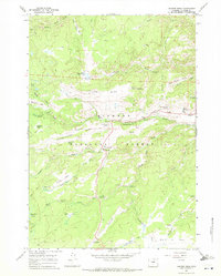
1967 · Hunter Mesa
USGS Topo · 1:24,000
1967 · Stone Mountain
USGS Topo · 1:24,000