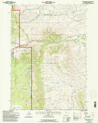
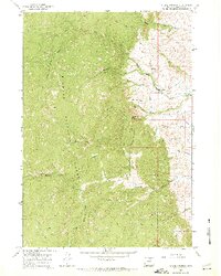
1993 Map of North Ridge
USGS Topo · Published 1997About this map
The Old Military Reservation Boundary cuts a historic line across this landscape in the eastern foothills of the Bighorn National Forest. The map documents an intricate network of late 20th-century water management, featuring numerous diversions such as the Johnson Ditch, Brown and Foster Ditch, and Moeller Ditch that lace through the drainage of French Creek. This infrastructure underscores the long-standing importance of water rights and irrigation in high-plains agriculture. Terrain transitions from the heights of Grouse Mountain and Bald Ridge down toward the Trailer Park and Trail Side areas, while conservation priorities are evident in the northern reaches of the Bud Love Big Game Winter Range. The rugged drainage of Mosier Gulch and the winding course of Clear Creek further define this intersection of public lands and managed ranching country.
Find a feature on this map
32 named features on this map. Tap any name to fly to it.
Don’t see what you’re looking for? This feature index may not catch every label — zoom into the map to look around manually.
Map Details
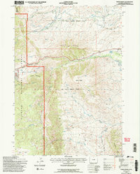
Editions of this 1993 North Ridge Map
2 editions found
Other maps of this area

1900 · Fort McKinney
USGS Topo · 1:125,000

1903 · Fort McKinney
USGS Topo · 1:125,000

1955 · Sheridan
USGS Topo · 1:250,000

1958 · Sheridan
USGS Topo · 1:250,000

1962 · Sheridan
USGS Topo · 1:250,000

1967 · Lake De Smet West
USGS Topo · 1:24,000

1967 · Caribou Creek
USGS Topo · 1:24,000
1967 · Klondike Ranch
USGS Topo · 1:24,000
1967 · Hunter Mesa
USGS Topo · 1:24,000
1967 · Stone Mountain
USGS Topo · 1:24,000