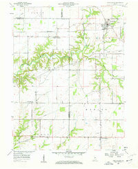
1958 Map of North Salem
USGS Topo · Published 1959About this map
North Salem serves as the primary hub in this late 1950s study of the Indiana countryside where Hendricks, Putnam, and Montgomery counties meet. The landscape is defined by the winding course of the Eel River and its various forks, alongside the prominent incision of Walnut Creek to the west. Small agricultural settlements like Barnard, New Maysville, and Groveland are connected by a network of rural roads and the Baltimore and Ohio railroad line. Local heritage is preserved in landmarks such as Mt Olivet Ch and the Fairview Cem near the town center. Of particular note is the southern corridor featuring the Ernie Pyle Memorial Highway, reflecting a mid-century commemoration of the famed war correspondent near New Winchester. The map captures a moment of established rural life before significant suburban expansion reached these outlying townships.
Find a feature on this map
29 named features on this map. Tap any name to fly to it.
Don’t see what you’re looking for? This feature index may not catch every label — zoom into the map to look around manually.
Map Details
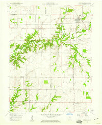
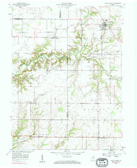
Editions of this 1958 North Salem Map
Other maps of this area

1953 · Clayton
USGS Topo · 1:24,000

1953 · Lizton
USGS Topo · 1:24,000

1953 · Danville
USGS Topo · 1:24,000

1953 · Indianapolis
USGS Topo · 1:250,000

1956 · Indianapolis
USGS Topo · 1:250,000

1957 · Indianapolis
USGS Topo · 1:250,000

1957 · New Ross
USGS Topo · 1:24,000

1958 · Roachdale
USGS Topo · 1:24,000

1958 · Ladoga
USGS Topo · 1:24,000

1958 · Coatesville
USGS Topo · 1:24,000