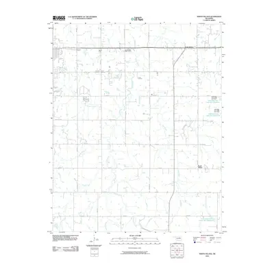
2010 Map of North Village
USGS Topo · Published 2010About this map
Silver Star Cemetery, Saint Leo Cemetery, and Harrell Cemetery cluster in the northwest quadrant of this landscape, marking the long-standing family and community sites near the Summit Ridge area. This part of Oklahoma is defined by a dense network of watercourses, including the central Euchee Creek and several systems of the Little Deep Fork Creek that have been managed with dams and reservoirs.
Find a feature on this map
42 named features on this map. Tap any name to fly to it.
Don’t see what you’re looking for? This feature index may not catch every label — zoom into the map to look around manually.
Map Details
Editions of this 2010 North Village Map
This is the sole edition of this map. No revisions or reprints were ever made.
Other maps of this area

1908 · Agra
USGS Topo · 1:62,500

1929 · Yale
USGS Topo · 1:62,500

1929 · Ripley
USGS Topo · 1:62,500

1931 · Drumright
USGS Topo · 1:62,500

1932 · Yale
USGS Topo · 1:62,500

1932 · Ripley
USGS Topo · 1:62,500

1954 · Oklahoma City
USGS Topo · 1:250,000

1955 · Enid
USGS Topo · 1:250,000

1957 · Oklahoma City
USGS Topo · 1:250,000

1958 · Enid
USGS Topo · 1:250,000