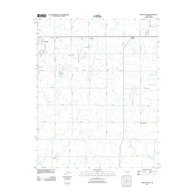
2012 Map of North Village
USGS Topo · Published 2012About this map
Cushing serves as the primary urban center in this early 21st-century landscape, which is defined by its extensive network of watercourses and rural burial grounds. The eastern portion of the city gives way to a sprawling countryside marked by significant drainages such as Wildhorse Cr and Turkey Cr, alongside smaller tributaries like Rattlesnake Cr. For those researching family history, the map identifies several distinct cemeteries, including Silver Star Cem, Saint Leo Cem, and Immanuel Lutheran Cem. The topography is also shaped by water management efforts, evidenced by the series of reservoirs on the Little Deep Fork Cr, including Little Deep Fork Cr Site 1 Reservoir. Small rural clusters like North Village and South Village anchor the eastern rural road grid.
Find a feature on this map
64 named features on this map. Tap any name to fly to it.
Don’t see what you’re looking for? This feature index may not catch every label — zoom into the map to look around manually.
Map Details
Editions of this 2012 North Village Map
This is the sole edition of this map. No revisions or reprints were ever made.
Other maps of this area

1908 · Agra
USGS Topo · 1:62,500

1929 · Yale
USGS Topo · 1:62,500

1929 · Ripley
USGS Topo · 1:62,500

1931 · Drumright
USGS Topo · 1:62,500

1932 · Yale
USGS Topo · 1:62,500

1932 · Ripley
USGS Topo · 1:62,500

1954 · Oklahoma City
USGS Topo · 1:250,000

1955 · Enid
USGS Topo · 1:250,000

1957 · Oklahoma City
USGS Topo · 1:250,000

1958 · Enid
USGS Topo · 1:250,000