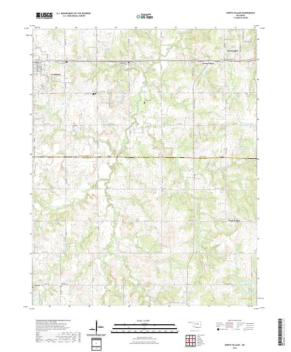
2022 Map of North Village
USGS Topo · Published 2022About this map
The borders of Payne and Lincoln counties meet along a landscape defined by the drainage of Euchee Creek and the Little Deep Fork Creek system. This 2022 survey documents the rural outskirts of Cushing and Drumright, revealing a dense distribution of local burial sites that speak to the area's family history and settlement patterns. Notable memorial locations include Euchee Valley Memorial Park, Saint Leo Cemetery, and the Henry Hunter Cemetery.
Find a feature on this map
71 named features on this map. Tap any name to fly to it.
Don’t see what you’re looking for? This feature index may not catch every label — zoom into the map to look around manually.
Map Details
Editions of this 2022 North Village Map
This is the sole edition of this map. No revisions or reprints were ever made.
Other maps of this area

1908 · Agra
USGS Topo · 1:62,500

1929 · Yale
USGS Topo · 1:62,500

1929 · Ripley
USGS Topo · 1:62,500

1931 · Drumright
USGS Topo · 1:62,500

1932 · Yale
USGS Topo · 1:62,500

1932 · Ripley
USGS Topo · 1:62,500

1954 · Oklahoma City
USGS Topo · 1:250,000

1955 · Enid
USGS Topo · 1:250,000

1957 · Oklahoma City
USGS Topo · 1:250,000

1958 · Enid
USGS Topo · 1:250,000