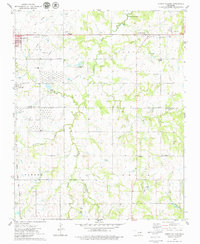
1975 Map of North Village
USGS Topo · Published 1979About this map
Industrial infrastructure and rural heritage converge along the Payne Co. Lincoln Co. boundary in this mid-1970s survey. The landscape is heavily marked by the region's petroleum history, most notably the massive Tank Farm installations and numerous Oil Wells scattered across Indian Field. Near the eastern edge of Cushing, transportation networks like the Atchison Topeka and Santa Fe railroad and an Old Railroad Grade illustrate the area's logistical importance.
Find a feature on this map
45 named features on this map. Tap any name to fly to it.
Don’t see what you’re looking for? This feature index may not catch every label — zoom into the map to look around manually.
Map Details
Editions of this 1975 North Village Map
This is the sole edition of this map. No revisions or reprints were ever made.
Other maps of this area

1908 · Agra
USGS Topo · 1:62,500

1929 · Yale
USGS Topo · 1:62,500

1929 · Ripley
USGS Topo · 1:62,500

1931 · Drumright
USGS Topo · 1:62,500

1932 · Yale
USGS Topo · 1:62,500

1932 · Ripley
USGS Topo · 1:62,500

1954 · Oklahoma City
USGS Topo · 1:250,000

1955 · Enid
USGS Topo · 1:250,000

1957 · Oklahoma City
USGS Topo · 1:250,000

1958 · Enid
USGS Topo · 1:250,000