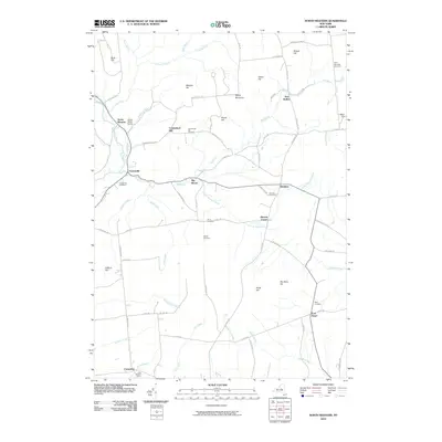
2010 Map of North Western
USGS Topo · Published 2010About this map
North Western and the surrounding Oneida County uplands are defined by a network of creeks and high ground in this 2010 survey. The Mohawk River flows through the western section of the map near Frenchville, while the landscape is punctuated by numerous family-named peaks such as Carmichael Hill, Meszler Hill, and Boody Hill. The area maintains a predominantly rural character, evidenced by the scattered distribution of small settlements like Big Brook and Steuben and the concentration of legacy burial grounds including Stone Cemetery and Nisbet Cemetery. The map captures a detailed snapshot of the local road network and drainage patterns, with Beaver Meadow Brook and Great Gulf Creek carving through the terrain towards the lower-lying valleys. Local landmarks like the Flying Acres Airport and dairy operations at Belle Maison Farms reflect the contemporary land use of this region.
Find a feature on this map
81 named features on this map. Tap any name to fly to it.
Don’t see what you’re looking for? This feature index may not catch every label — zoom into the map to look around manually.
Map Details
Editions of this 2010 North Western Map
This is the sole edition of this map. No revisions or reprints were ever made.
Other maps of this area

1895 · Oriskany
USGS Topo · 1:62,500

1897 · Remsen
USGS Topo · 1:62,500

1898 · Utica
USGS Topo · 1:62,500

1898 · Oriskany
USGS Topo · 1:62,500

1900 · Utica
USGS Topo · 1:62,500

1900 · Remsen
USGS Topo · 1:62,500

1904 · Boonville
USGS Topo · 1:62,500
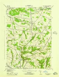
1945 · South Trenton
USGS Topo · 1:31,680

1945 · Boonville
USGS Topo · 1:24,000

1945 · Forestport
USGS Topo · 1:24,000