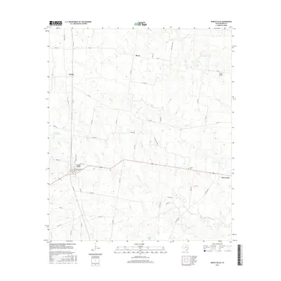
2016 Map of North Zulch
USGS Topo · Published 2016About this map
North Zulch and its surrounding Madison County countryside are defined by a network of farm roads and small-scale cattle ranching operations. The landscape is carved by numerous watercourses, most notably the winding path of Kickapoo Cr and its tributaries like Iron Cr and Foards Br. Small settlements such as George, Mecca, and Cottonwood remain connected by historical routes including Springfield Rd and Jinkins Rd, reflecting a rural Texas lifestyle that persists into the 21st century.
Find a feature on this map
58 named features on this map. Tap any name to fly to it.
Don’t see what you’re looking for? This feature index may not catch every label — zoom into the map to look around manually.
Map Details
Editions of this 2016 North Zulch Map
This is the sole edition of this map. No revisions or reprints were ever made.
Other maps of this area

1925 · Iola No 2
USGS Topo · 1:48,000

1931 · Iola
USGS Topo · 1:62,500

1953 · Palestine
USGS Topo · 1:250,000

1954 · Waco
USGS Topo · 1:250,000

1954 · Beaumont
USGS Topo · 1:250,000

1954 · Austin
USGS Topo · 1:250,000

1955 · Waco
USGS Topo · 1:250,000

1957 · Beaumont
USGS Topo · 1:250,000

1957 · Palestine
USGS Topo · 1:250,000

1959 · Clear Lake
USGS Topo · 1:24,000