
1964 Map of Northeast Missoula
USGS Topo · Published 1967About this map
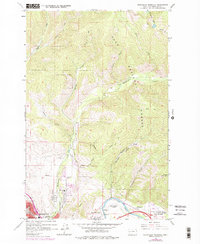
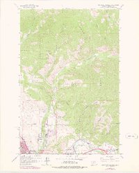
Missoula anchors the southwest corner of this mid-1960s survey, showing the city's upward expansion into the foothills of the Lolo National Forest. The landscape is defined by the sharp transition from the residential street grids near Northside Park and the Hospital to the steep, wooded drainages of Rattlesnake Creek and Marshall Canyon. Along the southern edge, the Clark Fork river winds past Bandmann Flats, where the Bandmann Bridge and a Gaging Station mark the corridor for road and rail movement east of the city. Notable for local history, the map details the infrastructure of early water management including the Williams Ditch and Quast Ditch, as well as recreational landmarks like the Marshall Ski Area and the peaks of Mount Jumbo and Woody Mountain. Small outlying communities such as East Missoula and West Riverside appear as distinct clusters before modern suburban consolidation.
Find a feature on this map
45 named features on this map. Tap any name to fly to it.
Don’t see what you’re looking for? This feature index may not catch every label — zoom into the map to look around manually.
Map Details
Editions of this 1964 Northeast Missoula Map
3 editions found
Other maps of this area

1903 · Bonner
USGS Topo · 1:125,000

1912 · Missoula
USGS Topo · 1:125,000

1921 · Elbow Lake
USGS Topo · 1:125,000

1947 · Butte
USGS Topo · 1:250,000

1955 · Choteau
USGS Topo · 1:250,000

1956 · Wallace
USGS Topo · 1:250,000

1956 · Hamilton
USGS Topo · 1:250,000

1957 · Choteau
USGS Topo · 1:250,000

1958 · Butte
USGS Topo · 1:250,000

1958 · Choteau
USGS Topo · 1:250,000