
1959 Map of Northern Light Lake
USGS Topo · Published 1961About this map
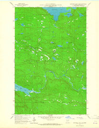
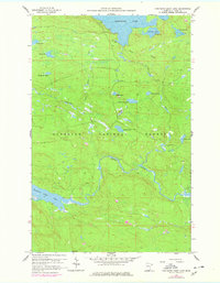
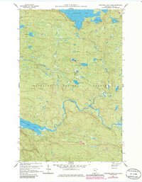
The Superior National Forest and Minnesota State Forest define the northern woods landscape of Cook County in this 1959 field-checked survey. The area is dominated by an intricate network of glacial lakes and waterways, most notably the sprawling Greenwood Lake at the northern boundary and the elongated Northern Light Lake to the southwest. The Brule River snakes through the central terrain, fed by smaller tributaries like Little Stony Creek and the Greenwood River.
Find a feature on this map
20 named features on this map. Tap any name to fly to it.
Don’t see what you’re looking for? This feature index may not catch every label — zoom into the map to look around manually.
Map Details
Editions of this 1959 Northern Light Lake Map
4 editions found
Other maps of this area

1954 · Two Harbors
USGS Topo · 1:250,000

1957 · Two Harbors
USGS Topo · 1:250,000

1957 · Quetico
USGS Topo · 1:250,000

1958 · Two Harbors
USGS Topo · 1:250,000

1959 · Pine Mountain
USGS Topo · 1:24,000

1959 · Pine Lake East
USGS Topo · 1:24,000

1959 · Tom Lake
USGS Topo · 1:24,000

1959 · Pine Lake West
USGS Topo · 1:24,000

1959 · Crocodile Lake
USGS Topo · 1:24,000

1960 · Grand Marais
USGS Topo · 1:24,000