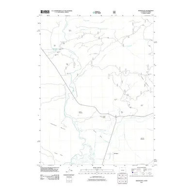
2011 Map of Northgate
USGS Topo · Published 2011About this map
The North Platte River winds through this high-altitude landscape on the Colorado-Wyoming border, where the convergence of several major waterways and an intensive mining history define the terrain. The small settlement of Northgate sits at a critical junction of local roads and water systems, including the Michigan River and the Cumberland Ditch. This area is characterized by significant industrial extraction, with numerous sites such as the Fluorspar Mine, Badger Mine, and Kramer Mines scattered among the peaks of Watson Mountain and Pinkham Mountain.
Find a feature on this map
45 named features on this map. Tap any name to fly to it.
Don’t see what you’re looking for? This feature index may not catch every label — zoom into the map to look around manually.
Map Details
Editions of this 2011 Northgate Map
This is the sole edition of this map. No revisions or reprints were ever made.
Other maps of this area

1906 · Medicine Bow
USGS Topo · 1:125,000

1908 · Medicine Bow
USGS Topo · 1:125,000

1950 · Northgate
USGS Topo · 1:24,000

1950 · Kings Canyon
USGS Topo · 1:24,000

1952 · Northgate
USGS Topo · 1:24,000

1952 · Kings Canyon
USGS Topo · 1:24,000

1954 · Rawlins
USGS Topo · 1:250,000

1954 · Craig
USGS Topo · 1:250,000

1955 · Independence Mountain
USGS Topo · 1:24,000

1955 · Lake John
USGS Topo · 1:24,000