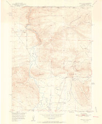
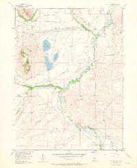
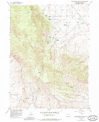
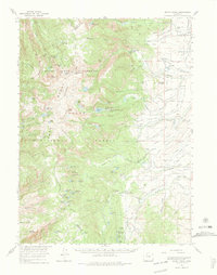
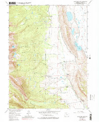
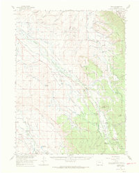
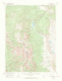
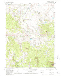
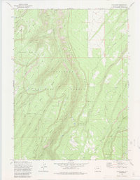
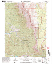
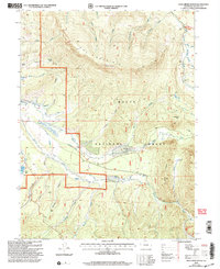
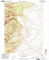
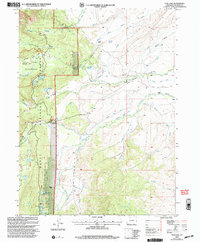
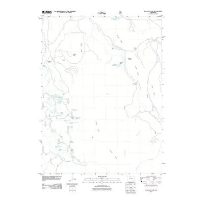
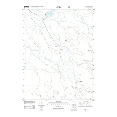
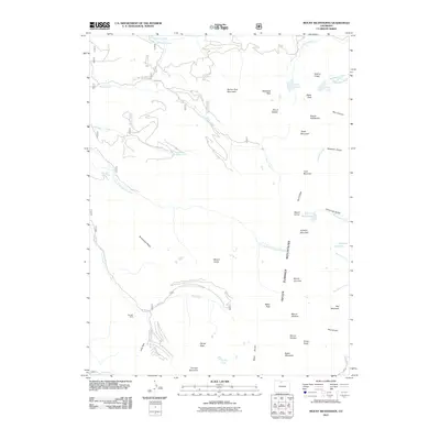
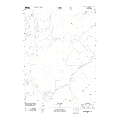
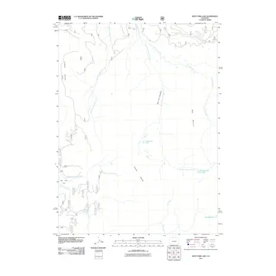
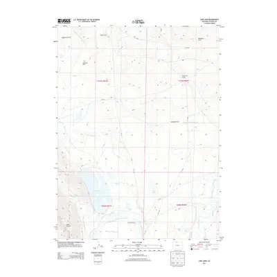
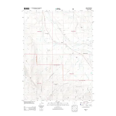
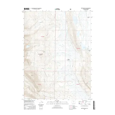
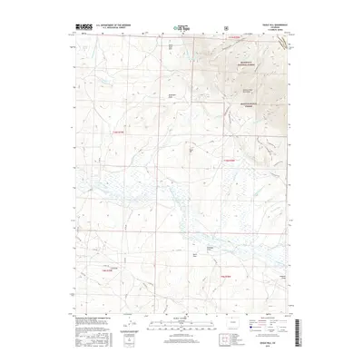
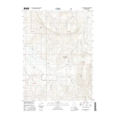
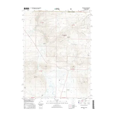
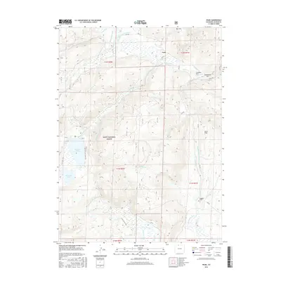
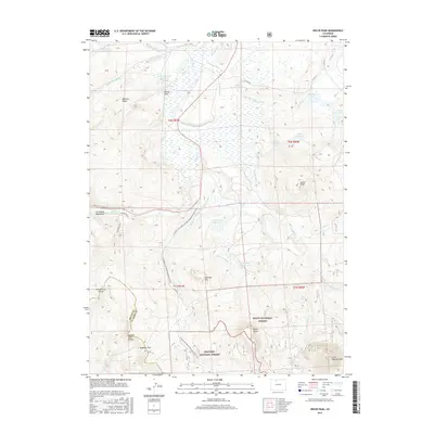
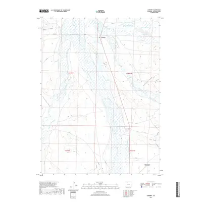
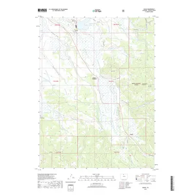
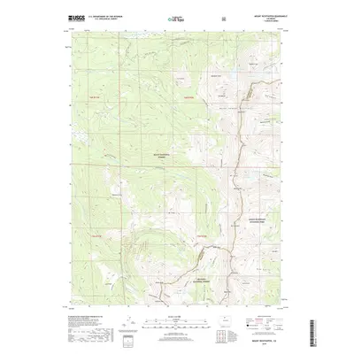
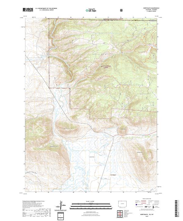
1952 Map of Northgate
USGS Topo · Published 1952About this map
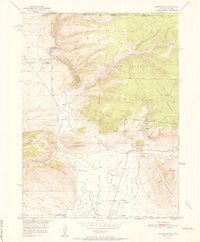
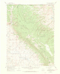
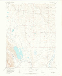
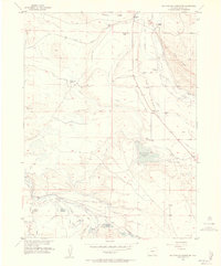
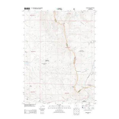
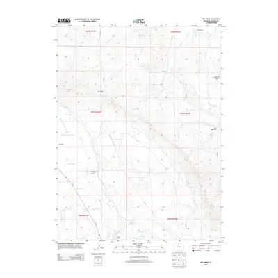
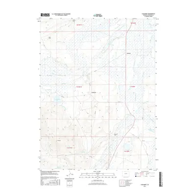
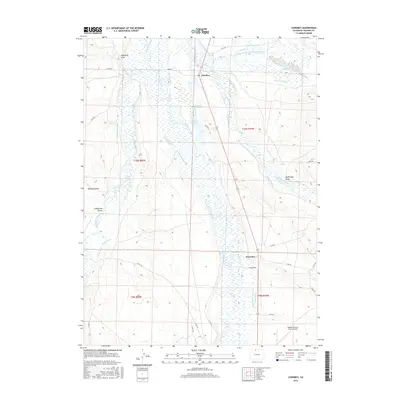
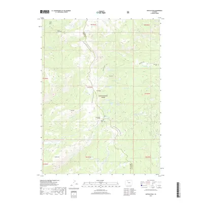
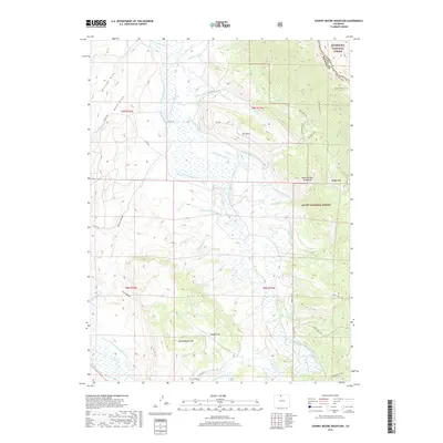
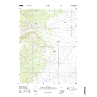
The North Platte River flows through this high-altitude landscape on the Colorado-Wyoming border, marking a transition from the North Park basin into the surrounding peaks. In the early 1950s, the area's economy is clearly tied to resource extraction and ranching, evidenced by the cluster of mining operations on the eastern slopes of Pinkham Mountain, including the Fluorspar Mine, Penber Mine, and Gero Tunnel. The tiny settlement of Northgate serves as a critical junction where the Union Pacific railroad corridor meets local drainage improvements like the Cumberland and Durgin Ditch. Local land use is further anchored by the Quaintance Ranch and the protected lands of Routt National Forest and Medicine Bow National Forest. The map captures a rugged industrial frontier where mountain peaks like Independence Mountain and Watson Mountain tower over the Canadian River headwaters.
Find a feature on this map
30 named features on this map. Tap any name to fly to it.
Don’t see what you’re looking for? This feature index may not catch every label — zoom into the map to look around manually.
Map Details
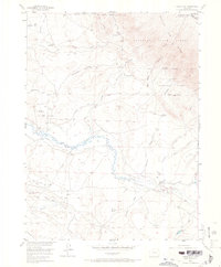
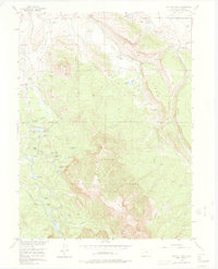
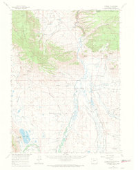
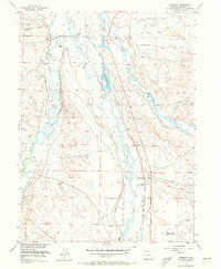
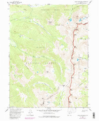
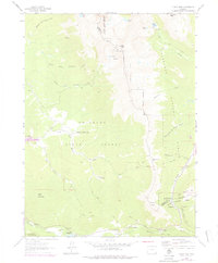
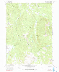
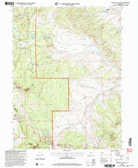
Editions of this 1952 Northgate Map
2 editions found
Historical Maps of Albany County Through Time
190 maps found
1950 Kings Canyon
Jackson County, CO
1950 Northgate
Jackson County, CO
1952 Kings Canyon
Jackson County, CO
1952 Northgate
Jackson County, CO
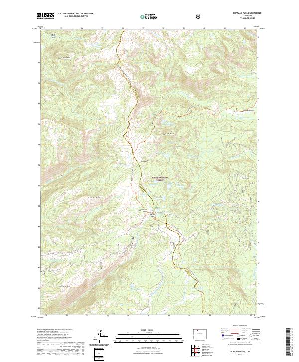
1955 Buffalo Pass
Jackson County, CO
1955 Coalmont
Jackson County, CO
1955 Davis Peak
Jackson County, CO
1955 Delaney Butte
Jackson County, CO
1955 Eagle Hill
Jackson County, CO
1955 Gould
Jackson County, CO
1955 Gould NW
Jackson County, CO
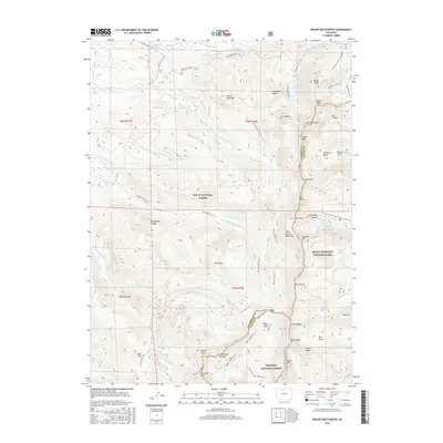
1955 Independence Mountain
Jackson County, CO
1955 Kings Canyon
Jackson County, CO
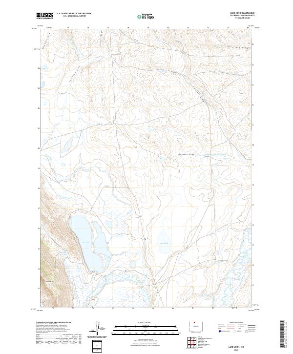
1955 Lake John
Jackson County, CO
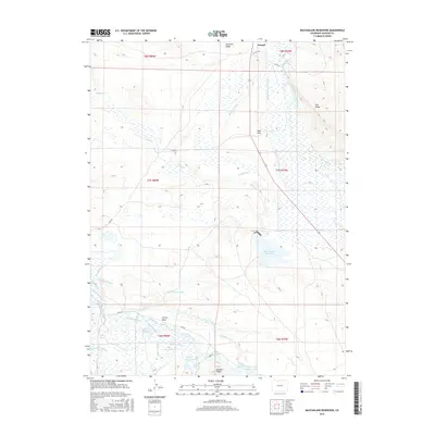
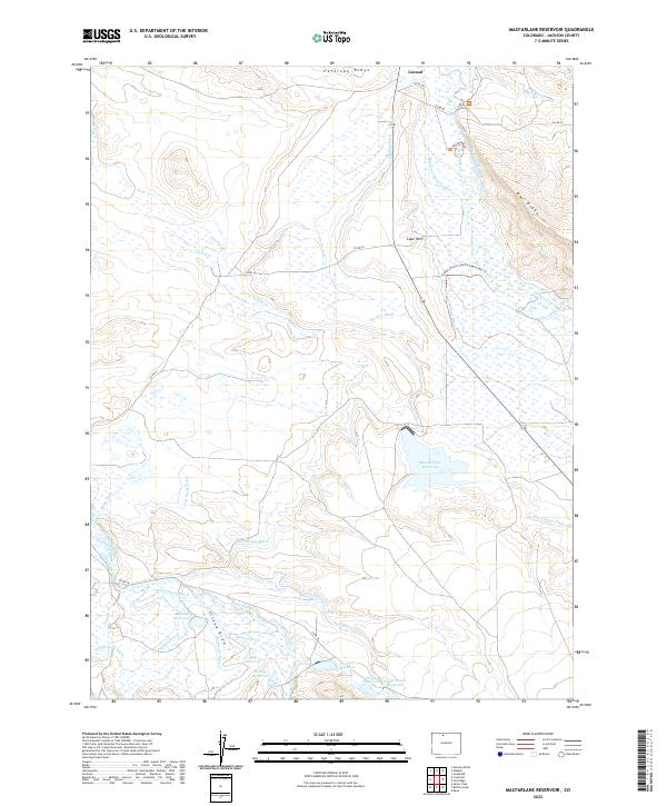
1955 Macfarlane Reservoir
Jackson County, CO
1955 Mount Ethel
Jackson County, CO
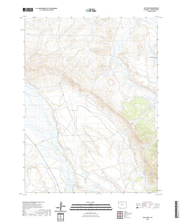
1955 Owl Ridge
Jackson County, CO

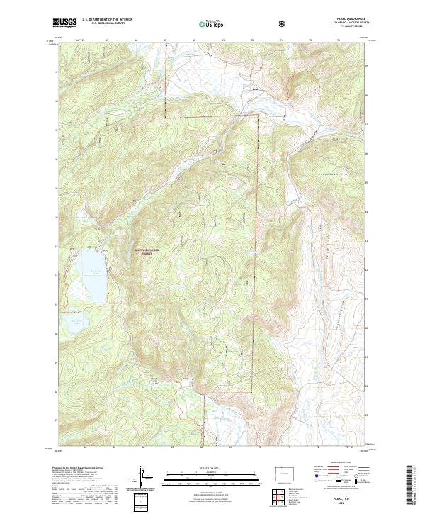
1955 Pearl
Jackson County, CO
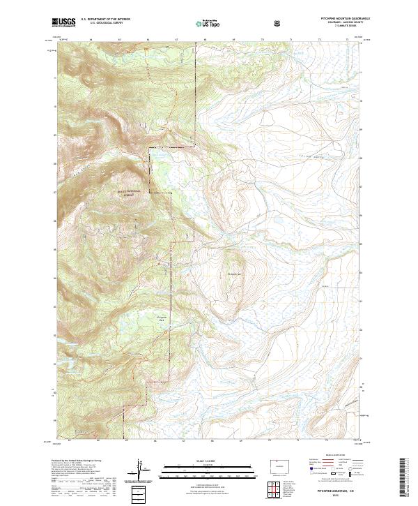
1955 Pitchpine Mountain
Jackson County, CO
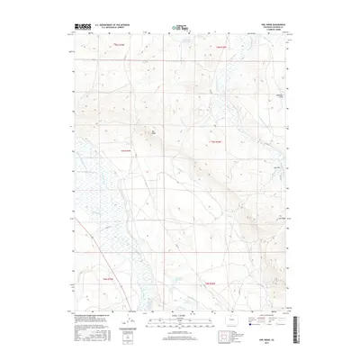
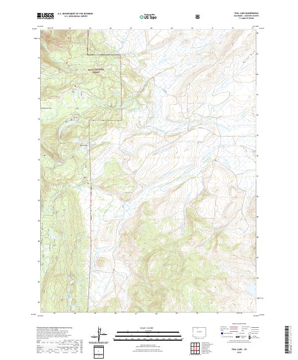
1955 Teal Lake
Jackson County, CO
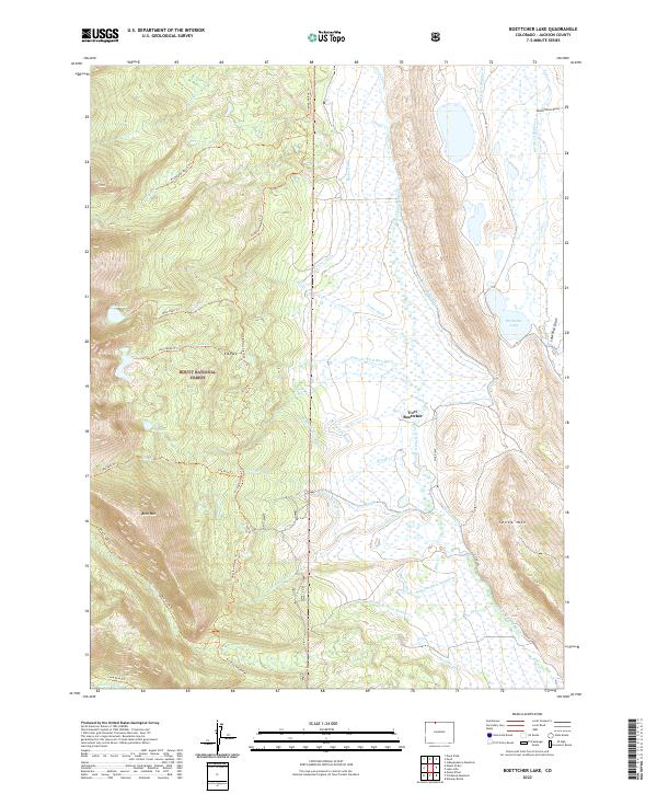
1956 Boettcher Lake
Jackson County, CO
1956 Buffalo Peak
Jackson County, CO
1956 Cowdrey
Jackson County, CO
1956 Cowdrey
Jackson County, CO
1956 Gould
Jackson County, CO
1956 Hyannis Peak
Jackson County, CO
1956 Jack Creek Ranch
Jackson County, CO
1956 Johnny Moore Mountain
Jackson County, CO
1956 Pearl
Jackson County, CO
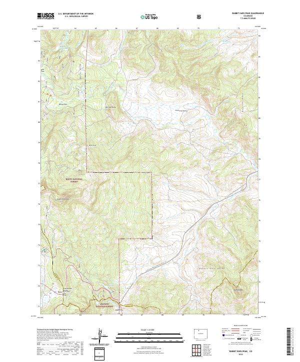
1956 Rabbit Ears Peak
Jackson County, CO
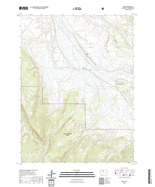
1956 Rand
Jackson County, CO
1956 Rand
Jackson County, CO
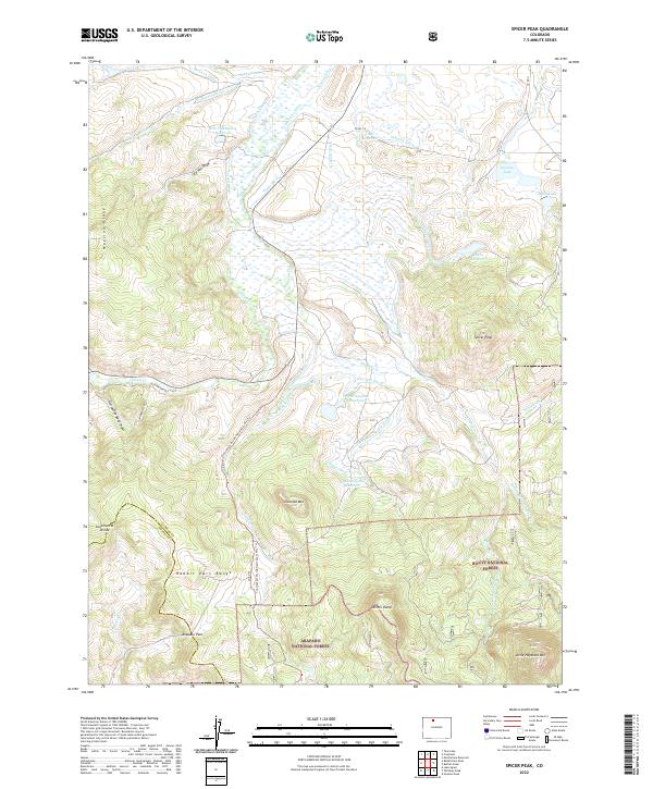
1956 Spicer Peak
Jackson County, CO
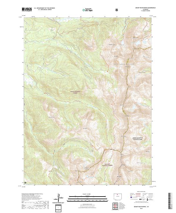
1957 Mount Richthofen
Jackson County, CO
1962 Clark Peak
Jackson County, CO
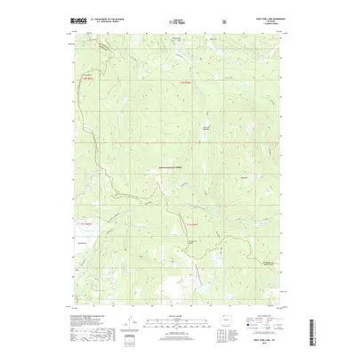
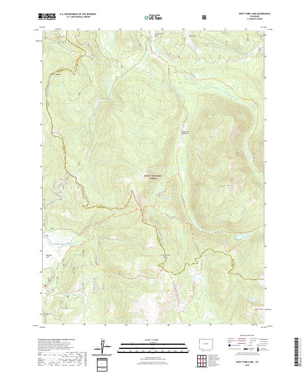
1962 West Fork Lake
Jackson County, CO
1973 Davis Peak
Jackson County, CO
2000 Boettcher Lake
Jackson County, CO
2000 Buffalo Pass
Jackson County, CO
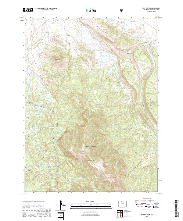
2000 Buffalo Peak
Jackson County, CO
2000 Clark Peak
Jackson County, CO
2000 Davis Peak
Jackson County, CO
2000 Eagle Hill
Jackson County, CO
2000 Gould
Jackson County, CO
2000 Jack Creek Ranch
Jackson County, CO

2000 Johnny Moore Mountain
Jackson County, CO
2000 Mount Richthofen
Jackson County, CO
2000 Northgate
Jackson County, CO
2000 Pearl
Jackson County, CO
2000 Pitchpine Mountain
Jackson County, CO
2000 Rabbit Ears Peak
Jackson County, CO
2000 Rand
Jackson County, CO
2000 Spicer Peak
Jackson County, CO
2000 Teal Lake
Jackson County, CO
2000 West Fork Lake
Jackson County, CO
2010 Coalmont
Jackson County, CO
2010 Cowdrey
Jackson County, CO
2010 Delaney Butte
Jackson County, CO
2010 Gould NW
Jackson County, CO
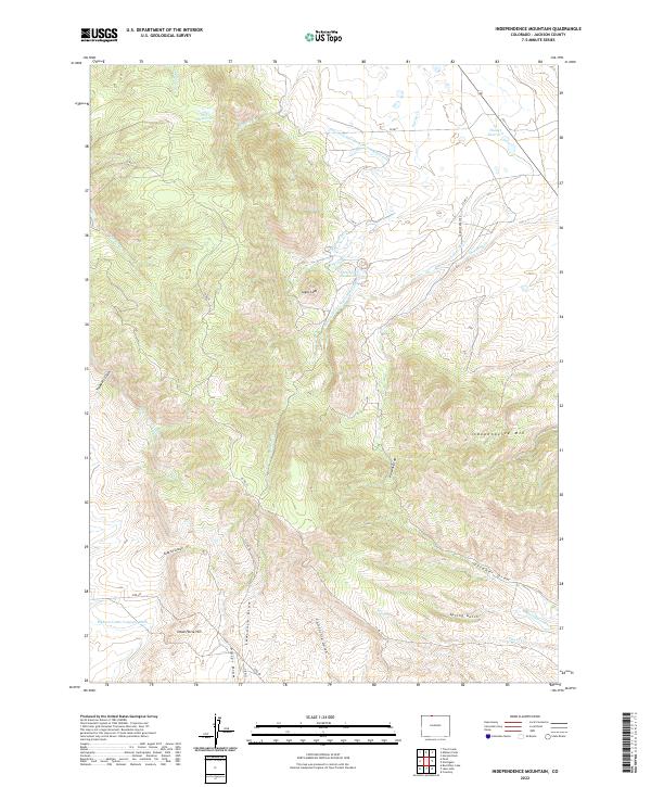
2010 Independence Mountain
Jackson County, CO
2010 Lake John
Jackson County, CO
2010 MacFarlane Reservoir
Jackson County, CO
2010 Owl Ridge
Jackson County, CO
2011 Boettcher Lake
Jackson County, CO
2011 Buffalo Pass
Jackson County, CO
2011 Buffalo Peak
Jackson County, CO
2011 Clark Peak
Jackson County, CO
2011 Davis Peak
Jackson County, CO
2011 Eagle Hill
Jackson County, CO
2011 Gould
Jackson County, CO
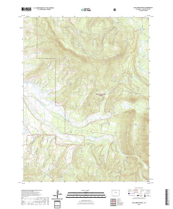
2011 Jack Creek Ranch
Jackson County, CO
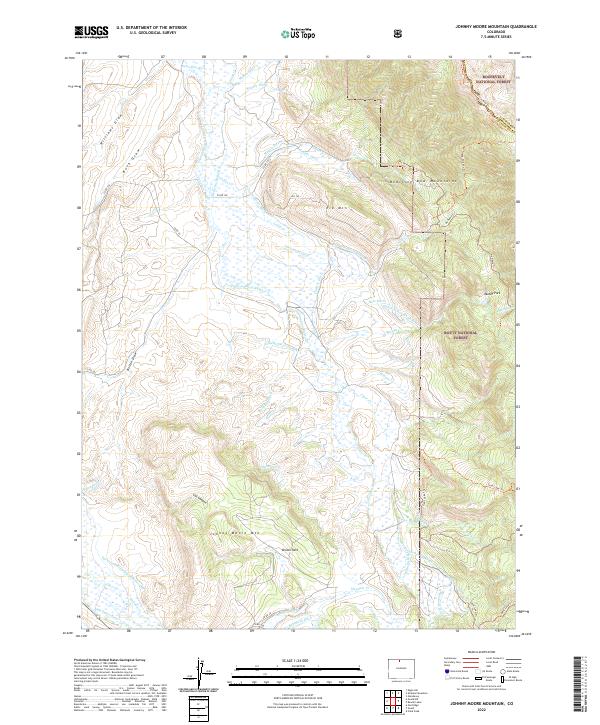
2011 Johnny Moore Mountain
Jackson County, CO
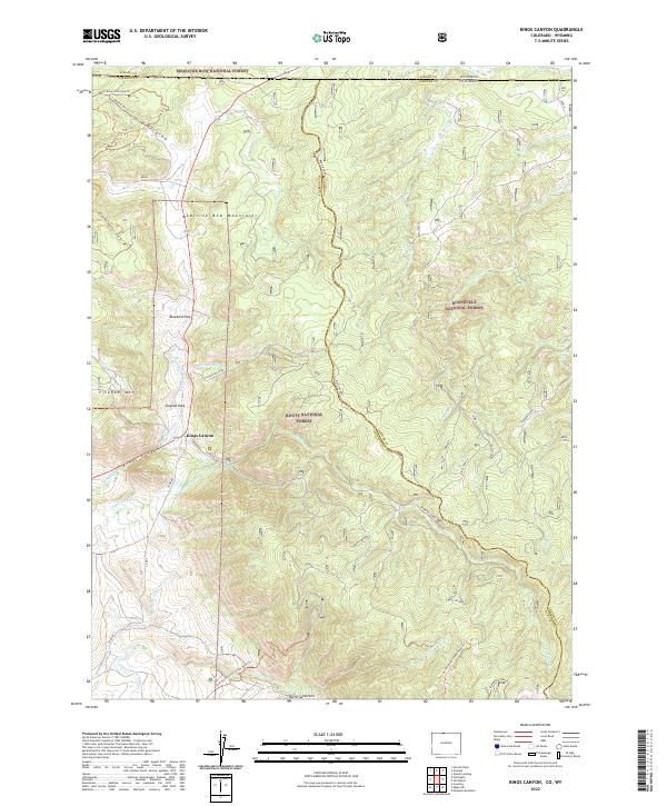
2011 Kings Canyon
Jackson County, CO
2011 Mount Richthofen
Jackson County, CO
2011 Northgate
Jackson County, CO
2011 Pearl
Jackson County, CO
2011 Pitchpine Mountain
Jackson County, CO
2011 Rabbit Ears Peak
Jackson County, CO
2011 Rand
Jackson County, CO
2011 Spicer Peak
Jackson County, CO
2011 Teal Lake
Jackson County, CO
2011 West Fork Lake
Jackson County, CO
2013 Boettcher Lake
Jackson County, CO
2013 Buffalo Pass
Jackson County, CO
2013 Buffalo Peak
Jackson County, CO
2013 Clark Peak
Jackson County, CO
2013 Coalmont
Jackson County, CO
2013 Cowdrey
Jackson County, CO
2013 Davis Peak
Jackson County, CO
2013 Delaney Butte
Jackson County, CO
2013 Eagle Hill
Jackson County, CO
2013 Gould
Jackson County, CO
2013 Gould NW
Jackson County, CO
2013 Independence Mountain
Jackson County, CO
2013 Jack Creek Ranch
Jackson County, CO
2013 Johnny Moore Mountain
Jackson County, CO
2013 Kings Canyon
Jackson County, CO
2013 Lake John
Jackson County, CO
2013 MacFarlane Reservoir
Jackson County, CO
2013 Mount Richthofen
Jackson County, CO
2013 Northgate
Jackson County, CO
2013 Owl Ridge
Jackson County, CO
2013 Pearl
Jackson County, CO
2013 Pitchpine Mountain
Jackson County, CO
2013 Rabbit Ears Peak
Jackson County, CO
2013 Rand
Jackson County, CO
2013 Spicer Peak
Jackson County, CO
2013 Teal Lake
Jackson County, CO
2013 West Fork Lake
Jackson County, CO
2016 Boettcher Lake
Jackson County, CO
2016 Buffalo Pass
Jackson County, CO
2016 Buffalo Peak
Jackson County, CO
2016 Clark Peak
Jackson County, CO
2016 Coalmont
Jackson County, CO
2016 Cowdrey
Jackson County, CO
2016 Davis Peak
Jackson County, CO
2016 Delaney Butte
Jackson County, CO
2016 Eagle Hill
Jackson County, CO
2016 Gould
Jackson County, CO
2016 Gould NW
Jackson County, CO
2016 Independence Mountain
Jackson County, CO
2016 Jack Creek Ranch
Jackson County, CO
2016 Johnny Moore Mountain
Jackson County, CO
2016 Kings Canyon
Jackson County, CO
2016 Lake John
Jackson County, CO
2016 MacFarlane Reservoir
Jackson County, CO
2016 Mount Richthofen
Jackson County, CO
2016 Northgate
Jackson County, CO
2016 Owl Ridge
Jackson County, CO
2016 Pearl
Jackson County, CO
2016 Pitchpine Mountain
Jackson County, CO
2016 Rabbit Ears Peak
Jackson County, CO
2016 Rand
Jackson County, CO
2016 Spicer Peak
Jackson County, CO
2016 Teal Lake
Jackson County, CO
2016 West Fork Lake
Jackson County, CO
2019 Boettcher Lake
Jackson County, CO
2019 Buffalo Pass
Jackson County, CO
2019 Buffalo Peak
Jackson County, CO
2019 Clark Peak
Jackson County, CO
2019 Coalmont
Jackson County, CO
2019 Cowdrey
Jackson County, CO
2019 Davis Peak
Jackson County, CO
2019 Delaney Butte
Jackson County, CO
2019 Eagle Hill
Jackson County, CO
2019 Gould
Jackson County, CO
2019 Gould NW
Jackson County, CO
2019 Independence Mountain
Jackson County, CO
2019 Jack Creek Ranch
Jackson County, CO
2019 Johnny Moore Mountain
Jackson County, CO
2019 Kings Canyon
Jackson County, CO
2019 Lake John
Jackson County, CO
2019 MacFarlane Reservoir
Jackson County, CO
2019 Mount Richthofen
Jackson County, CO
2019 Northgate
Jackson County, CO
2019 Owl Ridge
Jackson County, CO
2019 Pearl
Jackson County, CO
2019 Pitchpine Mountain
Jackson County, CO
2019 Rabbit Ears Peak
Jackson County, CO

2019 Rand
Jackson County, CO
2019 Spicer Peak
Jackson County, CO
2019 Teal Lake
Jackson County, CO
2019 West Fork Lake
Jackson County, CO
2022 Boettcher Lake
Jackson County, CO
2022 Buffalo Pass
Jackson County, CO
2022 Buffalo Peak
Jackson County, CO
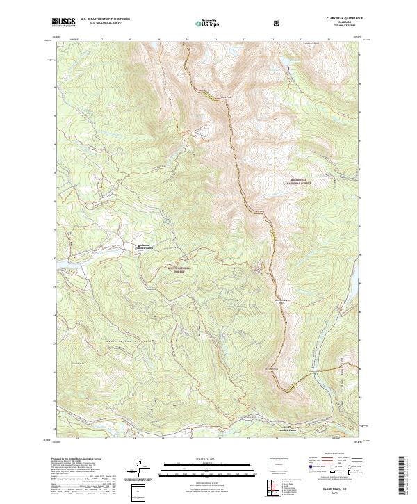
2022 Clark Peak
Jackson County, CO
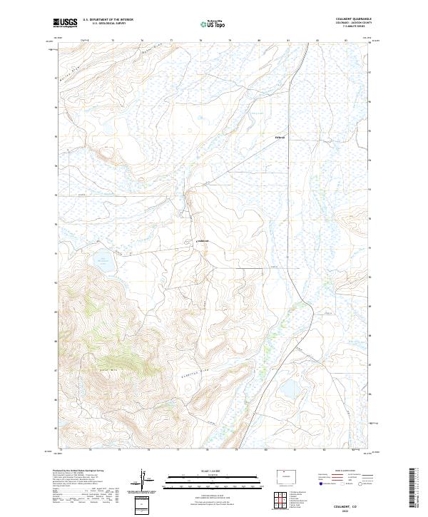
2022 Coalmont
Jackson County, CO
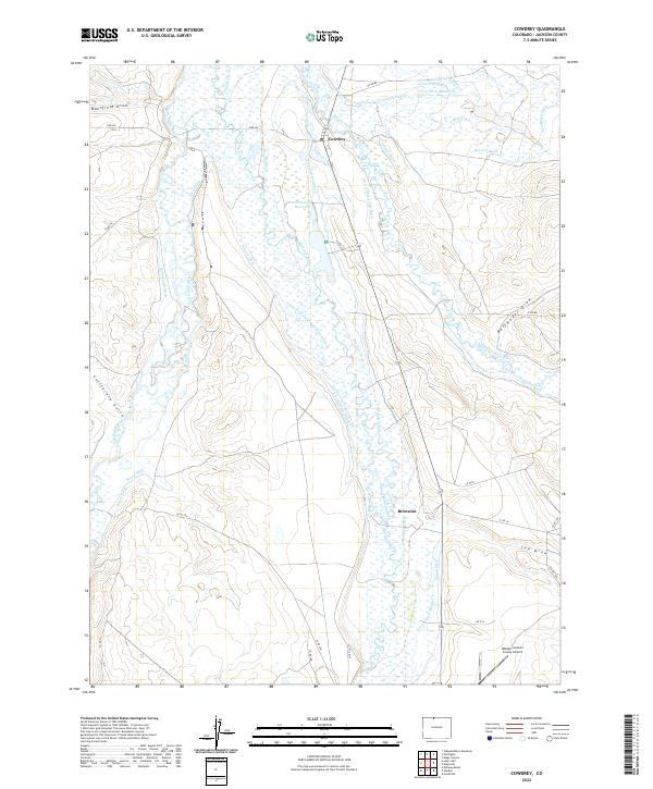
2022 Cowdrey
Jackson County, CO
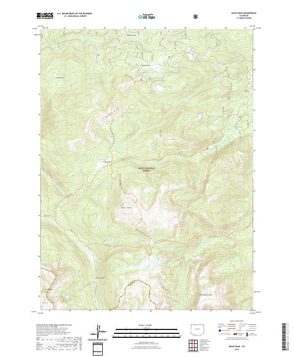
2022 Davis Peak
Jackson County, CO
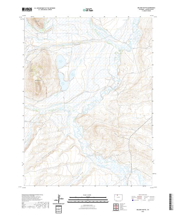
2022 Delaney Butte
Jackson County, CO
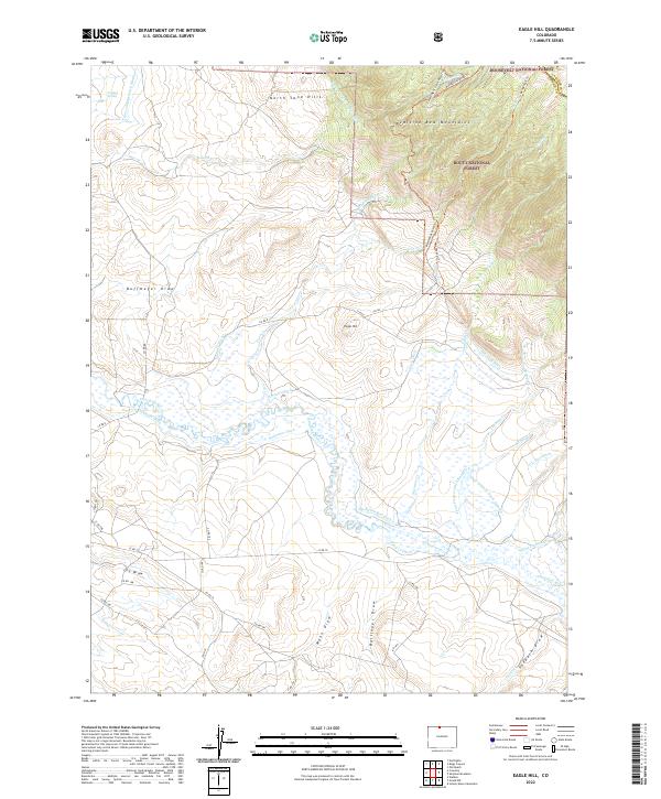
2022 Eagle Hill
Jackson County, CO
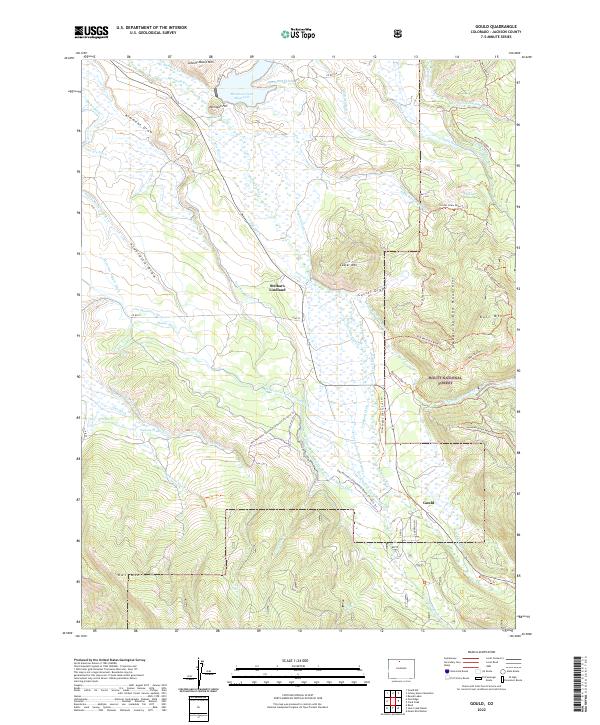
2022 Gould
Jackson County, CO
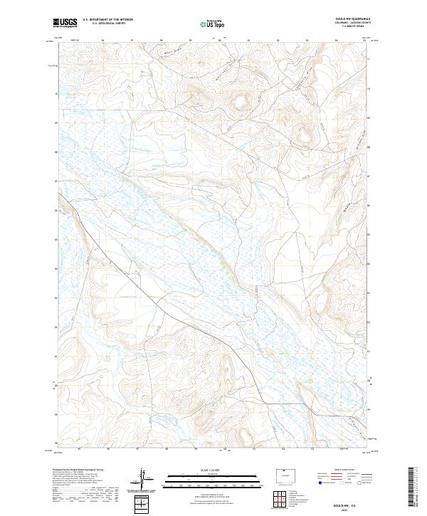
2022 Gould NW
Jackson County, CO
2022 Independence Mountain
Jackson County, CO
2022 Jack Creek Ranch
Jackson County, CO
2022 Johnny Moore Mountain
Jackson County, CO
2022 Kings Canyon
Jackson County, CO
2022 Lake John
Jackson County, CO
2022 MacFarlane Reservoir
Jackson County, CO
2022 Mount Richthofen
Jackson County, CO
2022 Northgate
Jackson County, CO
2022 Owl Ridge
Jackson County, CO
2022 Pearl
Jackson County, CO
2022 Pitchpine Mountain
Jackson County, CO
2022 Rabbit Ears Peak
Jackson County, CO
2022 Rand
Jackson County, CO
2022 Spicer Peak
Jackson County, CO
2022 Teal Lake
Jackson County, CO
2022 West Fork Lake
Jackson County, CO