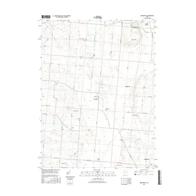
2016 Map of Northville
USGS Topo · Published 2016About this map
Mad River and its tributaries carve a complex drainage pattern across this landscape on the border of Logan and Champaign Counties. This 2016 survey shows the transition from the northern reaches of Urbana toward the small settlements of Eris and Lippincott. The region is defined by its deep agricultural and genealogical roots, evidenced by numerous small family and community burial grounds such as Concord Cem, Scott and Pullins Cem, and the Idle and Stevens Cem. These sites, alongside larger landmarks like Grimes Field and the Kenton Memorial Cem, illustrate the long-standing settlement patterns of west-central Ohio. Surface water features like Sayres Ponds and Cranes Pond are nestled among a grid of township roads including Yearian Rd and Wesley Chapel Rd, which provide access to the rural homesteads and farms that have persisted for generations.
Find a feature on this map
74 named features on this map. Tap any name to fly to it.
Don’t see what you’re looking for? This feature index may not catch every label — zoom into the map to look around manually.
Map Details
Editions of this 2016 Northville Map
This is the sole edition of this map. No revisions or reprints were ever made.
Other maps of this area

1913 · Bellefontaine
USGS Topo · 1:48,000

1913 · East Liberty
USGS Topo · 1:62,500

1914 · St. Paris
USGS Topo · 1:62,500

1914 · Mechanicsburg
USGS Topo · 1:62,500

1915 · Bellefontaine
USGS Topo · 1:62,500

1915 · East Liberty
USGS Topo · 1:62,500

1916 · Mechanicsburg
USGS Topo · 1:62,500

1916 · St. Paris
USGS Topo · 1:62,500

1944 · East Liberty
USGS Topo · 1:62,500

1944 · Mechanicsburg
USGS Topo · 1:62,500