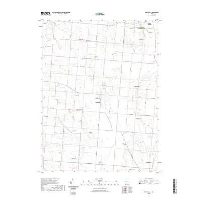
2019 Map of Northville
USGS Topo · Published 2019About this map
Urbana and its northern surroundings in Champaign County are defined by the broad valley of the Mad River, where a network of tributary creeks like Anderson Cr and Muddy Cr carve through the agricultural landscape. The township structure is clearly marked, with the map recording several small crossroads communities including Northville, Lippincott, and Eris. At the southern edge, the municipal layout of Urbana transitions into the open grounds of Grimes Field, reflecting the area's continued role as a regional hub.
Find a feature on this map
49 named features on this map. Tap any name to fly to it.
Don’t see what you’re looking for? This feature index may not catch every label — zoom into the map to look around manually.
Map Details
Editions of this 2019 Northville Map
This is the sole edition of this map. No revisions or reprints were ever made.
Other maps of this area

1913 · Bellefontaine
USGS Topo · 1:48,000

1913 · East Liberty
USGS Topo · 1:62,500

1914 · St. Paris
USGS Topo · 1:62,500

1914 · Mechanicsburg
USGS Topo · 1:62,500

1915 · Bellefontaine
USGS Topo · 1:62,500

1915 · East Liberty
USGS Topo · 1:62,500

1916 · Mechanicsburg
USGS Topo · 1:62,500

1916 · St. Paris
USGS Topo · 1:62,500

1944 · East Liberty
USGS Topo · 1:62,500

1944 · Mechanicsburg
USGS Topo · 1:62,500