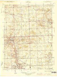
1945 Map of Northville
USGS Topo · Published 1945About this map
The Oakland Co and Wayne Co border serves as the primary dividing line for this mid-1940s landscape, where the growing towns of Northville, Plymouth, Novi, and Farmington are linked by a maturing grid of mile roads. The area is defined by the headwaters of the Rouge River system, including the Middle Rouge River and the Upper River Rouge, which feed into local landmarks like Waterford Pond and Phoenix Lake.
Find a feature on this map
79 named features on this map. Tap any name to fly to it.
Don’t see what you’re looking for? This feature index may not catch every label — zoom into the map to look around manually.
Map Details
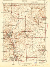
Editions of this 1945 Northville Map
2 editions found
Other maps of this area

1902 · South Lyon
USGS Topo · 1:62,500

1904 · Ann Arbor
USGS Topo · 1:125,000

1905 · Wayne
USGS Topo · 1:62,500

1906 · South Lyon
USGS Topo · 1:62,500

1907 · Pontiac
USGS Topo · 1:62,500

1908 · Ann Arbor
USGS Topo · 1:125,000

1909 · Milford
USGS Topo · 1:62,500

1912 · Wayne
USGS Topo · 1:62,500

1936 · Inkster
USGS Topo · 1:31,680

1936 · Wayne
USGS Topo · 1:31,680