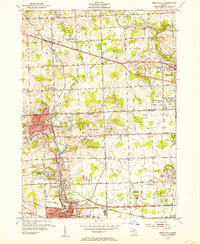
1952 Map of Northville
USGS Topo · Published 1954About this map
Novi represents a focal point of early development within this mid-century layout of the Michigan landscape. The settlement pattern here reflects the era just before the intense post-war suburban expansion that would eventually redefine this region. Local terrain and road networks are depicted with precision, showing the foundational infrastructure that served as the backbone for the community's growth. While the list of printed labels is focused, the map provides a clear look at the spatial arrangement of the day, offering a unique resource for those studying the regional history or genealogy of this specific pocket of Michigan.
Find a feature on this map
1 named feature on this map. Tap any name to fly to it.
Don’t see what you’re looking for? This feature index may not catch every label — zoom into the map to look around manually.
Map Details
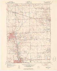
Editions of this 1952 Northville Map
2 editions found
Other maps of this area

1902 · South Lyon
USGS Topo · 1:62,500

1904 · Ann Arbor
USGS Topo · 1:125,000

1905 · Wayne
USGS Topo · 1:62,500

1906 · South Lyon
USGS Topo · 1:62,500

1907 · Pontiac
USGS Topo · 1:62,500

1908 · Ann Arbor
USGS Topo · 1:125,000

1909 · Milford
USGS Topo · 1:62,500

1912 · Wayne
USGS Topo · 1:62,500

1936 · Inkster
USGS Topo · 1:31,680

1936 · Wayne
USGS Topo · 1:31,680