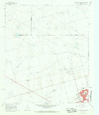
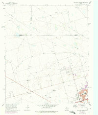
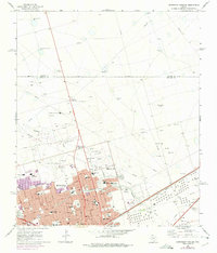
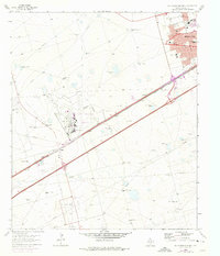
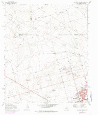
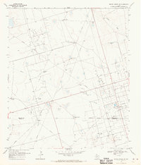
1966 Map of Northwest Midland
USGS Topo · Published 1968This historical map portrays the area of Northwest Midland in 1966, primarily covering Midland as well as portions of Martin County and Andrews County. Featuring a scale of 1:24000, this map provides a highly detailed snapshot of the terrain, roads, buildings, counties, and historical landmarks in the Northwest Midland region at the time. Published in 1968, it is one of 3 known editions of this map due to revisions or reprints.
Find a feature on this map
22 named features on this map. Tap any name to fly to it.
Don’t see what you’re looking for? This feature index may not catch every label — zoom into the map to look around manually.
Map Details
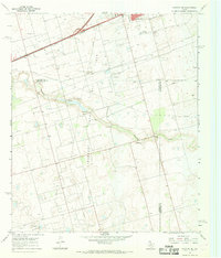
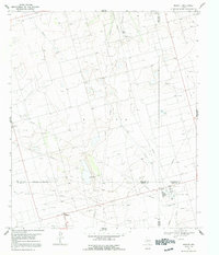
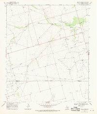
Editions of this 1966 Northwest Midland Map
3 editions found
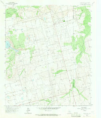
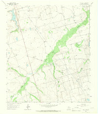
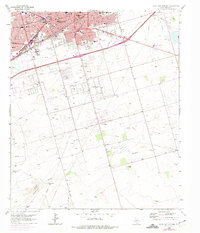
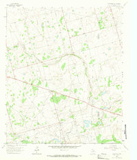
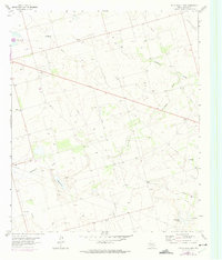
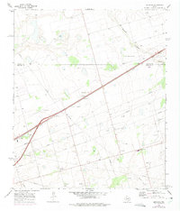
Historical Maps of Midland Through Time
16 maps found
1964 Bryans Ranch
Midland County, TX
1964 Parks
Midland County, TX
1965 Northeast Midland
Midland County, TX
1965 Pecks Lake
Midland County, TX
1965 Salt Lake
Midland County, TX
1965 Southeast Midland
Midland County, TX
1965 Southwest Midland
Midland County, TX
1965 Spraberry
Midland County, TX
1965 Stephenson Lake
Midland County, TX
1966 Germania
Midland County, TX
1966 Northwest Midland
Midland County, TX
1966 Stanton SE
Midland County, TX
1967 Midkiff
Midland County, TX
1968 Benge Corner
Midland County, TX
1968 Benge Corner NW
Midland County, TX

1968 Midkiff NW
Midland County, TX