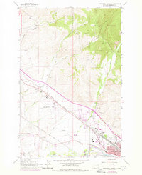
1964 Map of Northwest Missoula
USGS Topo · Published 1978About this map
Burlington Northern and Chicago Milwaukee St Paul and Pacific rail lines dominate the transport corridor northwest of Missoula, where industrial and agricultural activity meet the foothills of the Lolo National Forest. This 1960s landscape, updated with 1970s revisions, shows a transition from rural settlements like Nagos and De Smet toward the growing urban fringe. The map documents significant local infrastructure including the Johnson-Bell Field and the US Forest Service Aerial Fire Depot, a critical hub for regional wildfire response.
Find a feature on this map
38 named features on this map. Tap any name to fly to it.
Don’t see what you’re looking for? This feature index may not catch every label — zoom into the map to look around manually.
Map Details
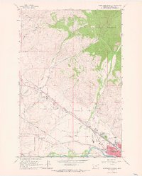
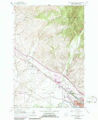
Editions of this 1964 Northwest Missoula Map
3 editions found
Other maps of this area

1903 · Bonner
USGS Topo · 1:125,000

1912 · Missoula
USGS Topo · 1:125,000

1921 · Elbow Lake
USGS Topo · 1:125,000

1947 · Butte
USGS Topo · 1:250,000

1955 · Choteau
USGS Topo · 1:250,000

1956 · Wallace
USGS Topo · 1:250,000

1956 · Hamilton
USGS Topo · 1:250,000

1957 · Choteau
USGS Topo · 1:250,000

1958 · Butte
USGS Topo · 1:250,000

1958 · Choteau
USGS Topo · 1:250,000