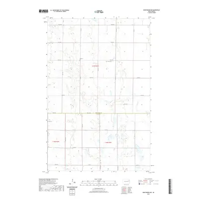
2020 Map of Northwood NW
USGS Topo · Published 2020About this map
Herlickson Cem and Bethania Cem sit among the section lines of the Red River Valley, marking the resting places of early agricultural families in this pocket of North Dakota. This landscape is defined by the transition between Grand Forks and Steele counties, where a highly organized grid of range roads like 5th Ave NE and Eagle Ave overlays a subtle drainage system. The terrain is etched by the wandering paths of Spring Cr and Beaver Cr, which provide the only natural deviation from the rectilinear survey lines. In the southwest corner, Hanson Cem serves as another focal point for genealogical research, situated near the headwaters of the local coulees. The prevalence of small, family-associated cemeteries along gravel section roads illustrates the dispersed nature of prairie settlement long after the initial homesteading era.
Find a feature on this map
21 named features on this map. Tap any name to fly to it.
Don’t see what you’re looking for? This feature index may not catch every label — zoom into the map to look around manually.
Map Details
Editions of this 2020 Northwood NW Map
This is the sole edition of this map. No revisions or reprints were ever made.
Other maps of this area

1936 · Larimore
USGS Topo · 1:62,500

1939 · Niagara
USGS Topo · 1:62,500

1952 · Grand Forks
USGS Topo · 1:250,000

1956 · Grand Forks
USGS Topo · 1:250,000

1963 · Kempton
USGS Topo · 1:24,000

1963 · Larimore SW
USGS Topo · 1:24,000

1963 · Logan Center
USGS Topo · 1:24,000

1966 · Grand Forks
USGS Topo · 1:250,000

1967 · Finley NE
USGS Topo · 1:24,000

1967 · Finley
USGS Topo · 1:24,000