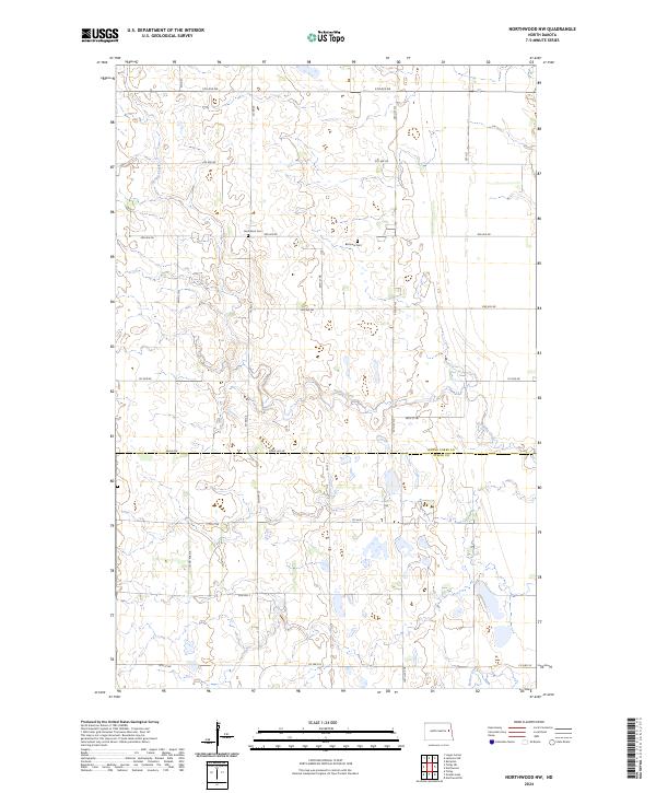
2024 Map of Northwood NW
USGS Topo · Published 2024About this map
Spring Creek meanders through this agricultural landscape at the border of Grand Forks and Steele counties. The map documents a classic section-line road grid, defined by routes like Co Rd 20 and Eagle Ave, which structure the rural settlement patterns of the Red River Valley region. For family historians, the presence of Herlickson Cem and Bethania Cem provides specific points of interest tied to early community hubs. The southern portion of the survey is drained by Beaver Creek, showing the subtle topographic variations that influenced local drainage and farming practices in this part of North Dakota. This 2024 edition reflects the modern infrastructure of Township 149 North, Range 55 West while maintaining the footprints of its original land divisions.
Find a feature on this map
29 named features on this map. Tap any name to fly to it.
Don’t see what you’re looking for? This feature index may not catch every label — zoom into the map to look around manually.
Map Details
Editions of this 2024 Northwood NW Map
This is the sole edition of this map. No revisions or reprints were ever made.
Other maps of this area

1936 · Larimore
USGS Topo · 1:62,500

1939 · Niagara
USGS Topo · 1:62,500

1952 · Grand Forks
USGS Topo · 1:250,000

1956 · Grand Forks
USGS Topo · 1:250,000

1963 · Kempton
USGS Topo · 1:24,000

1963 · Larimore SW
USGS Topo · 1:24,000

1963 · Logan Center
USGS Topo · 1:24,000

1966 · Grand Forks
USGS Topo · 1:250,000

1967 · Finley NE
USGS Topo · 1:24,000

1967 · Finley
USGS Topo · 1:24,000