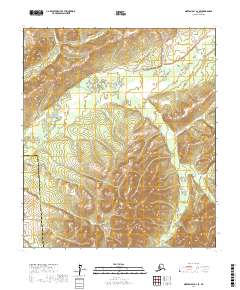
2017 Map of Norton Bay A-2 SE
USGS Topo · Published 2017About this map
The Unalakleet River winds through the northern portion of this terrain, marking a drainage system within the remote interior of the Yukon-Koyukuk Census Area. The landscape is characterized by the convergence of several significant watercourses, including the Tenmile River and the Bennie River, which carve through the high-elevation contours of the Norton Bay region. This area lies at a transition between census jurisdictions, with the western boundary shared by the Nome Census Area. Mapping from 2017 highlights the complex topography and the network of river valleys that historically dictated travel and subsistence in this part of Alaska, far from established road networks or permanent settlements.
Find a feature on this map
10 named features on this map. Tap any name to fly to it.
Don’t see what you’re looking for? This feature index may not catch every label — zoom into the map to look around manually.
Map Details
Editions of this 2017 Norton Bay A-2 SE Map
This is the sole edition of this map. No revisions or reprints were ever made.
Other maps of this area

1948 · Norton Bay
USGS Topo · 1:250,000

1951 · Unalakleet
USGS Topo · 1:250,000

1951 · Norton Bay
USGS Topo · 1:250,000

1952 · Unalakleet D-2
USGS Topo · 1:63,360

1952 · Unalakleet D-1
USGS Topo · 1:63,360

1952 · Unalakleet
USGS Topo · 1:250,000
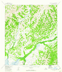
1953 · Norton Bay A-2
USGS Topo · 1:63,360
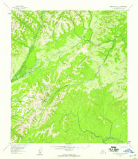
1954 · Norton Bay A-1
USGS Topo · 1:63,360

1955 · Norton Bay
USGS Topo · 1:250,000

1964 · Unalakleet
USGS Topo · 1:250,000