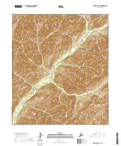
2017 Map of Norton Bay B-2 SE
USGS Topo · Published 2017About this map
Nulato Hills topography dominates this 2017 survey, where the landscape is defined by the winding course of the North Fork Unalakleet River. Flowing through the eastern and southern portions of the quadrangle, the river serves as the primary hydrological feature in an otherwise high-relief interior. The map illustrates a remote wilderness character typical of the Yukon-Koyukuk region, lacking any named settlements, roads, or human infrastructure. Instead, the focus is on the intricate contouring of the uplands and the drainage patterns that feed into the Unalakleet watershed. The lack of cultural features emphasizes the territory's role as an undeveloped corridor in the Alaskan interior, partitioned solely by the surveyed township lines of t13s r5w, t13s r4w, t14s r5w, and t14s r4w.
Find a feature on this map
6 named features on this map. Tap any name to fly to it.
Don’t see what you’re looking for? This feature index may not catch every label — zoom into the map to look around manually.
Map Details
Editions of this 2017 Norton Bay B-2 SE Map
This is the sole edition of this map. No revisions or reprints were ever made.
Other maps of this area

1948 · Norton Bay
USGS Topo · 1:250,000

1951 · Norton Bay
USGS Topo · 1:250,000

1952 · Norton Bay B-1
USGS Topo · 1:63,360
1953 · Norton Bay B-2
USGS Topo · 1:63,360
1953 · Norton Bay A-2
USGS Topo · 1:63,360
1954 · Norton Bay A-1
USGS Topo · 1:63,360

1955 · Norton Bay
USGS Topo · 1:250,000
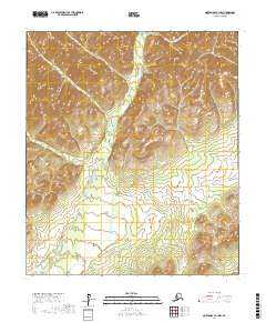
2017 · Norton Bay A-1 NW
USGS Topo · 1:25,000
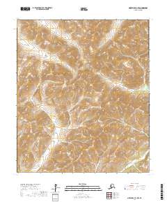
2017 · Norton Bay B-1 NW
USGS Topo · 1:25,000
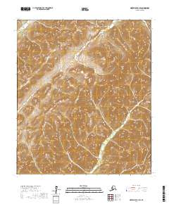
2017 · Norton Bay B-1 SW
USGS Topo · 1:25,000