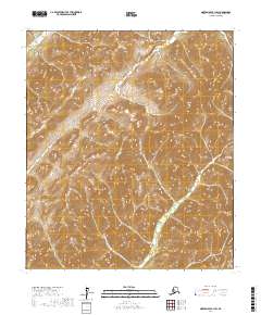
2017 Map of Norton Bay B-1 SW
USGS Topo · Published 2017About this map
The Nulato Hills dominate this portion of the Alaskan interior, providing a stark topographical record of the divide between two major subarctic drainage systems. Within this landscape, the headwaters of the N Fork Unalakleet River and the Unalakleet River flow toward the southwest, eventually reaching Norton Sound. Conversely, the S Fork Nulato River drains in the opposite direction toward the Yukon River valley. This 2017 survey illustrates the complex drainage patterns and ridgelines of the Norton Bay region, mapped by the U.S. Geological Survey using modern elevation data to trace the remote divide where these river systems originate.
Find a feature on this map
8 named features on this map. Tap any name to fly to it.
Don’t see what you’re looking for? This feature index may not catch every label — zoom into the map to look around manually.
Map Details
Editions of this 2017 Norton Bay B-1 SW Map
This is the sole edition of this map. No revisions or reprints were ever made.
Other maps of this area

1948 · Norton Bay
USGS Topo · 1:250,000

1951 · Norton Bay
USGS Topo · 1:250,000

1952 · Norton Bay B-1
USGS Topo · 1:63,360
1953 · Norton Bay B-2
USGS Topo · 1:63,360
1953 · Norton Bay A-2
USGS Topo · 1:63,360
1954 · Norton Bay A-1
USGS Topo · 1:63,360

1955 · Norton Bay
USGS Topo · 1:250,000
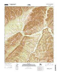
2014 · Norton Bay A-1 NE
USGS Topo · 1:25,000
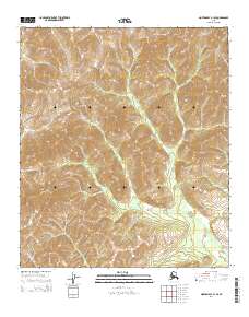
2014 · Norton Bay B-1 SE
USGS Topo · 1:25,000
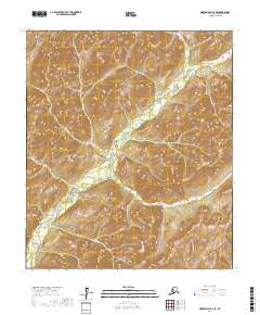
2017 · Norton Bay B-2 SE
USGS Topo · 1:25,000