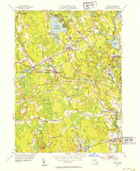
1951 Map of Norton
USGS Topo · Published 1953About this map
Wheaton College sits at the heart of Norton, serving as a central landmark in this 1950s Bristol County landscape. The area is defined by its complex water systems, where the Rumford River and Canoe River feed into the expansive Norton Reservoir. The industrial and institutional character of the era is evident in the presence of the Copper Works near Barrowsville and the large footprint of the Myles Standish State School on the eastern edge.
Find a feature on this map
51 named features on this map. Tap any name to fly to it.
Don’t see what you’re looking for? This feature index may not catch every label — zoom into the map to look around manually.
Map Details
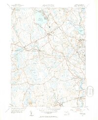
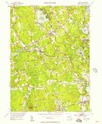
Editions of this 1951 Norton Map
3 editions found
Other maps of this area

1885 · Taunton
USGS Topo · 1:62,500

1886 · Dedham
USGS Topo · 1:62,500

1887 · Franklin
USGS Topo · 1:62,500

1887 · Providence
USGS Topo · 1:62,500

1888 · Taunton
USGS Topo · 1:62,500

1889 · Providence
USGS Topo · 1:62,500

1889 · Franklin
USGS Topo · 1:62,500

1893 · Taunton
USGS Topo · 1:62,500

1893 · Franklin
USGS Topo · 1:62,500

1894 · Dedham
USGS Topo · 1:62,500