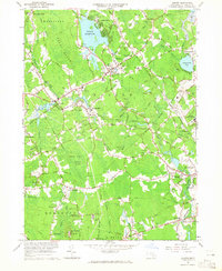
1964 Map of Norton
USGS Topo · Published 1965About this map
Wheaton College serves as a central landmark in this mid-1960s study of the Bristol County landscape, where the Rumford River and Canoe River converge toward the Norton Reservoir. The map illustrates a region in transition, balancing the historic village centers of Norton and Barrowsville with institutional developments like the Dever State School and the Lovering Colony State Hospital near Oakland. For genealogists, the sheet is particularly dense with small family and town burial grounds, including Norton Center Cem, Babbit Cem, and Stevens Corner Cem. The infrastructure of the New York New Haven and Hartford railroad bisects the terrain, connecting industrial points and gravel pits that defined the local economy before the expansion of modern residential corridors. Large natural tracts like the Great Woods and Rehoboth State Forest remain prominent, preserving the character of the inland coastal plain.
Find a feature on this map
67 named features on this map. Tap any name to fly to it.
Don’t see what you’re looking for? This feature index may not catch every label — zoom into the map to look around manually.
Map Details
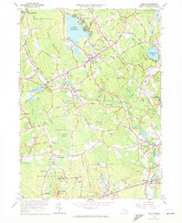
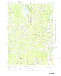
Editions of this 1964 Norton Map
3 editions found
Other maps of this area

1885 · Taunton
USGS Topo · 1:62,500

1886 · Dedham
USGS Topo · 1:62,500

1887 · Franklin
USGS Topo · 1:62,500

1887 · Providence
USGS Topo · 1:62,500

1888 · Taunton
USGS Topo · 1:62,500

1889 · Providence
USGS Topo · 1:62,500

1889 · Franklin
USGS Topo · 1:62,500

1893 · Taunton
USGS Topo · 1:62,500

1893 · Franklin
USGS Topo · 1:62,500

1894 · Dedham
USGS Topo · 1:62,500