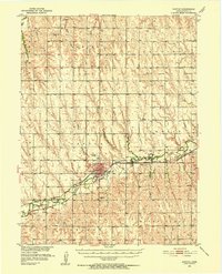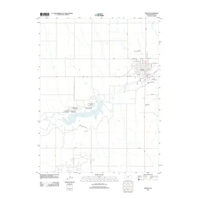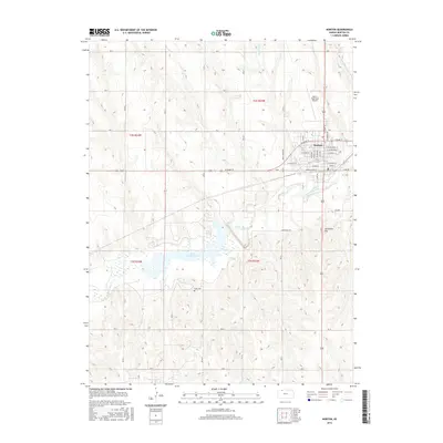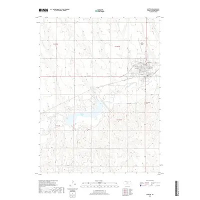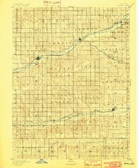
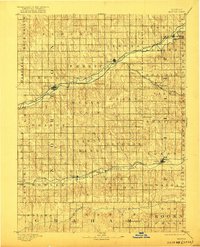
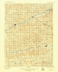
1893 Map of Norton
USGS Topo · Published 1902About this map
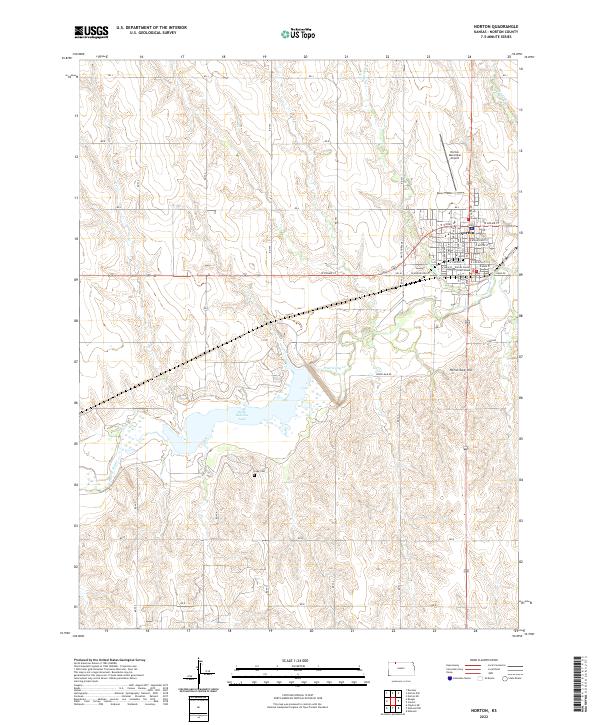
Norton stands as a central hub in this late nineteenth-century survey, where the Chicago Rock Island and Pacific Railroad and the Burlington and Missouri River Railroad converge. The landscape is defined by the drainage basins of Prairie Dog Creek to the north and the North Fork Solomon River to the south. Small prairie settlements including Almena, Prairie View, and Long Island are scattered along these rail corridors, reflecting the rapid expansion of the western frontier. In the southern portion of the sheet, the Missouri Pacific Railroad links the towns of Lenora, Edmond, and Logan. The map reveals a highly structured township system, with boundaries like Emmett, Belle Plain, and Grant clearly delineated amidst the rising topography between the river valleys.
Find a feature on this map
47 named features on this map. Tap any name to fly to it.
Don’t see what you’re looking for? This feature index may not catch every label — zoom into the map to look around manually.
Map Details
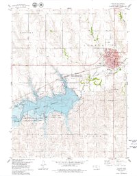
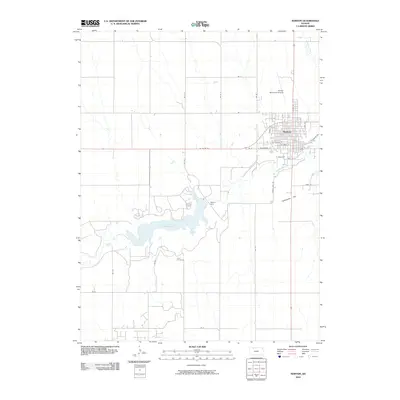
Editions of this 1893 Norton Map
4 editions found

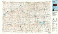
Historical Maps of Norton Through Time
9 maps found