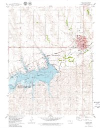
1893 Map of Norton
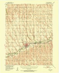
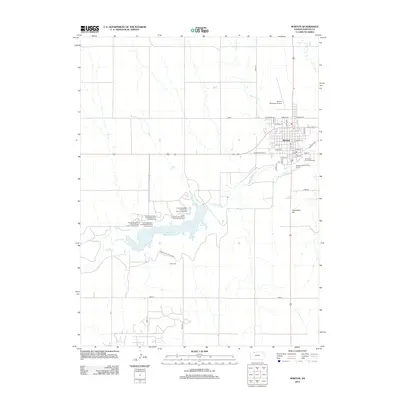
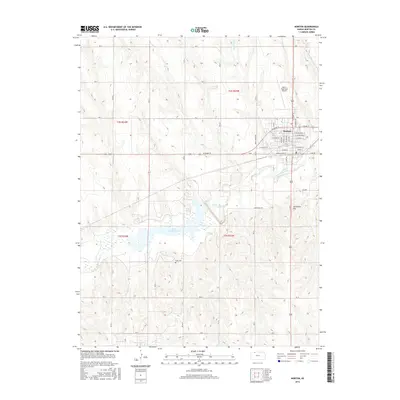
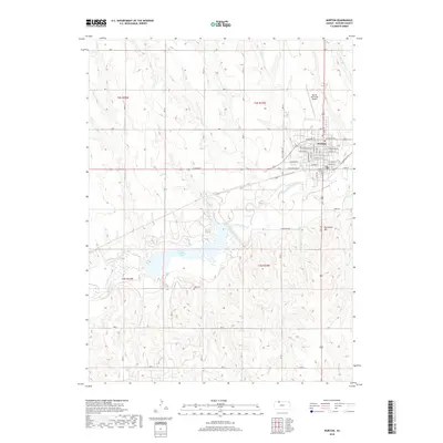
USGS Topo · Published 1949About this map
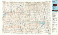
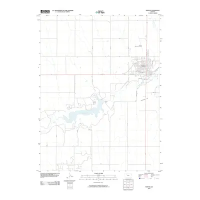
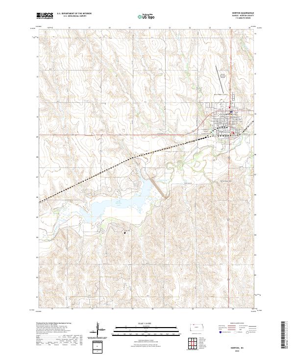
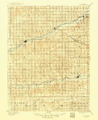
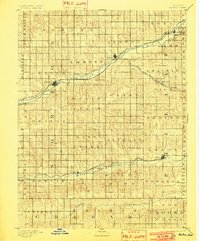
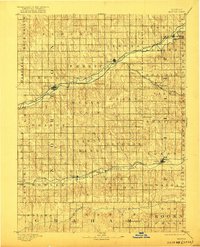
Prairie Dog Creek and the North Fork Solomon River dictate the settlement patterns across this Northwest Kansas landscape during the late nineteenth century. The map illustrates a region transitioning from open prairie to a surveyed grid of townships and organized settlements, heavily influenced by the arrival of major rail lines. The Norton townsite emerges as a central hub, while the Burlington and Missouri River Railroad and the Chicago Rock Island and Pacific Railroad facilitate the growth of frontier communities like Almena, Prairie View, and Long Island. In the southern portion of the quadrangle, the Missouri Pacific Railroad follows the river valley through Logan, Densmore, and Edmond, highlighting the critical relationship between water access and steam-era transportation. Smaller drainages such as South Creek and Big Timber Creek carve through the surrounding townships, providing the necessary geography for early homesteading and agriculture.
Find a feature on this map
47 named features on this map. Tap any name to fly to it.
Don’t see what you’re looking for? This feature index may not catch every label — zoom into the map to look around manually.
Map Details
Editions of this 1893 Norton Map
4 editions found

Historical Maps of Norton Through Time
9 maps found