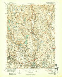
1951 Map of Norwalk North
USGS Topo · Published 1952About this map
Norwalk and its northern interior suburbs show a landscape in transition during the early 1950s, where traditional New England town centers meet modern infrastructure like the Merritt Parkway. The map details the dense hydrography of the Silvermine River and Norwalk River valleys, supporting several industrial and municipal sites such as the Winnipauk Mill Pond and the extensive South Norwalk Reservoir system. Settlement patterns are concentrated around historic crossroads like Silvermine and Cannondale, while the upland terrain is defined by prominent ridges such as Sturges Ridge and the wilder expanse of Devils Den. Local institutions are well-preserved, including the Wilton Jr High Sch, Mt Zion Ch, and family-named landmarks like Wardwell Pond, reflecting the area's deep-rooted residential character before the full suburban surge of the late 20th century.
Find a feature on this map
89 named features on this map. Tap any name to fly to it.
Don’t see what you’re looking for? This feature index may not catch every label — zoom into the map to look around manually.
Map Details
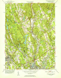
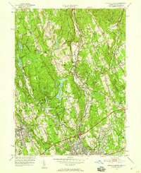
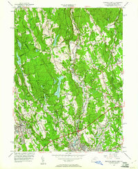
Editions of this 1951 Norwalk North Map
4 editions found
Other maps of this area

1892 · Stamford
USGS Topo · 1:62,500

1892 · Danbury
USGS Topo · 1:62,500

1892 · Norwalk
USGS Topo · 1:62,500

1892 · Carmel
USGS Topo · 1:62,500

1893 · Carmel
USGS Topo · 1:62,500

1893 · Stamford
USGS Topo · 1:62,500

1893 · Norwalk
USGS Topo · 1:62,500

1894 · Carmel
USGS Topo · 1:62,500

1899 · Stamford
USGS Topo · 1:62,500

1915 · Danbury
USGS Topo · 1:62,500