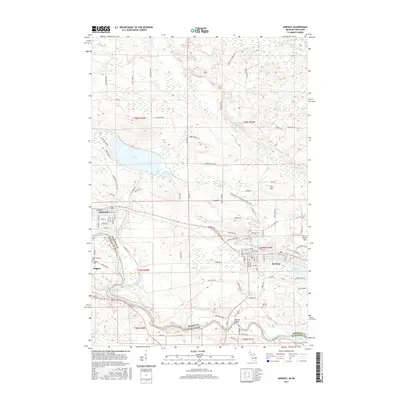
2017 Map of Norway
USGS Topo · Published 2017About this map
Norway and Quinnesec anchor this portion of the Menominee River valley at the Michigan-Wisconsin border, a landscape defined by its industrial heritage and river power. The Menominee River winds through the southern half of the map, marked by dramatic natural drop-offs such as Piers Gorge Falls, Little Quinnesec Falls, and Sand Portage Falls. This corridor historically supported the region's timber and power needs, creating the Quinnesec Falls Flowage and establishing the groundwork for the neighboring communities.
Find a feature on this map
118 named features on this map. Tap any name to fly to it.
Don’t see what you’re looking for? This feature index may not catch every label — zoom into the map to look around manually.
Map Details
Editions of this 2017 Norway Map
This is the sole edition of this map. No revisions or reprints were ever made.
Other maps of this area

1939 · Pembine
USGS Topo · 1:48,000

1939 · Dunbar
USGS Topo · 1:48,000

1939 · Iron Mountain
USGS Topo · 1:48,000

1941 · Dunbar
USGS Topo · 1:48,000

1941 · Iron Mountain
USGS Topo · 1:48,000

1947 · Pembine
USGS Topo · 1:48,000

1947 · Dunbar
USGS Topo · 1:48,000

1947 · Iron Mountain
USGS Topo · 1:48,000

1954 · Iron Mountain
USGS Topo · 1:250,000

1954 · Escanaba
USGS Topo · 1:250,000