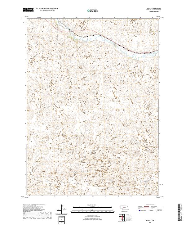
2021 Map of Norway
USGS Topo · Published 2021About this map
The Middle Loup River winds through the northern portion of this Sandhills landscape, creating a distinct corridor of wetlands and riparian terrain in an otherwise high-elevation prairie. In the northwest corner, the small settlement of Norway sits along the northern bank, marking a focal point for the region's sparse infrastructure. The rest of the map is defined by the unique topography of Thomas County, where hundreds of small, isolated depressions and ridges illustrate the character of the Nebraska dunes. Local transit is limited to a few named paths such as Windmill Rd, Johnston Ln, and River Ave, reflecting the expansive, low-density ranching and agricultural patterns of the early twenty-first century.
Find a feature on this map
9 named features on this map. Tap any name to fly to it.
Don’t see what you’re looking for? This feature index may not catch every label — zoom into the map to look around manually.
Map Details
Editions of this 2021 Norway Map
This is the sole edition of this map. No revisions or reprints were ever made.
Other maps of this area

1948 · Seneca
USGS Topo · 1:62,500

1948 · Thedford
USGS Topo · 1:62,500

1948 · Seneca 4
USGS Topo · 1:62,500

1949 · Seneca 4
USGS Topo · 1:62,500

1950 · Thedford
USGS Topo · 1:62,500

1950 · Shimmins Lake
USGS Topo · 1:62,500

1951 · Seneca
USGS Topo · 1:62,500

1954 · North Platte
USGS Topo · 1:250,000

1956 · North Platte
USGS Topo · 1:250,000

1957 · North Platte
USGS Topo · 1:250,000