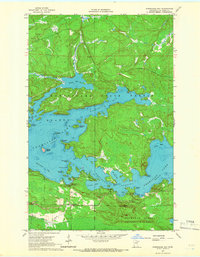
1964 Map of Norwegian Bay
USGS Topo · Published 1966About this map
Vermilion Lake dominates this mid-1960s survey, revealing a landscape defined by an intricate network of bays, islands, and points. The northern reach of the lake is punctuated by Norwegian Bay and Black Bay, while the southern waters flow through the Wakemup Narrows into Wakemup Bay. This era shows the intersection of recreational and conservation interests, with the Wakemup Bay Campground positioned near the water's edge and large tracts of the Kabetogama State Forest and Sturgeon River State Forest providing protected buffer to the shoreline. Numerous named islands like Treasure Island and Goodwill Island suggest a long-established history of local navigation and summer habitation. The presence of several Gravel Pits inland indicates the local infrastructure needs of the time, while the various bays like Indian Bay and Waconda Bay highlight the complex geography of the Saint Louis County shoreline.
Find a feature on this map
36 named features on this map. Tap any name to fly to it.
Don’t see what you’re looking for? This feature index may not catch every label — zoom into the map to look around manually.
Map Details
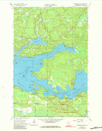
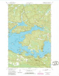
Editions of this 1964 Norwegian Bay Map
3 editions found
Other maps of this area

1954 · Hibbing
USGS Topo · 1:250,000

1954 · International Falls
USGS Topo · 1:250,000

1956 · Vermilion Dam
USGS Topo · 1:24,000

1956 · Lost Lake
USGS Topo · 1:24,000

1957 · Hibbing
USGS Topo · 1:250,000

1957 · International Falls
USGS Topo · 1:250,000

1958 · International Falls
USGS Topo · 1:250,000

1958 · Hibbing
USGS Topo · 1:250,000

1963 · Picket Lake
USGS Topo · 1:24,000

1964 · Hibbing
USGS Topo · 1:250,000