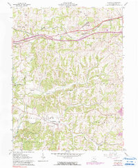
1961 Map of Norwich
USGS Topo · Published 1990About this map
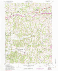
Chandlersville and Norwich anchor this pocket of Muskingum County, where the landscape is defined by the sharp dendritic drainages of Salt Creek and its many tributaries, including Frog Run and Georges Run. The southern portion of the sheet is dominated by the Blue Rock State Forest, while the northern section reveals the industrial and transit corridor carved by the Baltimore and Ohio railroad. Evidence of the region's energy resources is found in the scattered Oil Wells and gas wells that dot the hillsides, often positioned near family-named landmarks like Smith Mill. Local genealogy is well-supported by several plotted burial grounds, such as Chandlersville Cem and Rock Spring Cem, providing a clear view of these rural communities as they appeared in the early 1960s before modern expansion began to alter the older settlement patterns of Sundale and Bridgeville.
Find a feature on this map
39 named features on this map. Tap any name to fly to it.
Don’t see what you’re looking for? This feature index may not catch every label — zoom into the map to look around manually.
Map Details
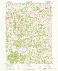
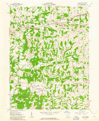
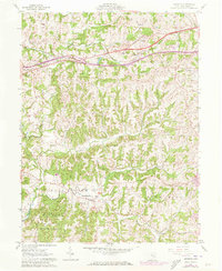
Editions of this 1961 Norwich Map
5 editions found
Other maps of this area

1908 · Conesville
USGS Topo · 1:62,500

1909 · Cambridge
USGS Topo · 1:62,500

1910 · Philo
USGS Topo · 1:62,500

1910 · Conesville
USGS Topo · 1:62,500

1911 · Cumberland
USGS Topo · 1:62,500

1912 · Cambridge
USGS Topo · 1:62,500

1949 · Clarksburg
USGS Topo · 1:250,000

1951 · Canton
USGS Topo · 1:250,000

1953 · Canton
USGS Topo · 1:250,000

1956 · Clarksburg
USGS Topo · 1:250,000