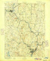
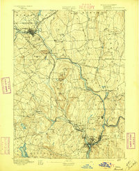
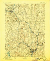
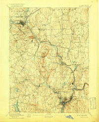
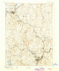
1892 Map of Norwich
USGS Topo · Published 1900About this map
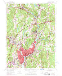
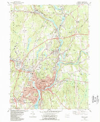
Norwich and Willimantic anchor a late nineteenth-century industrial and agricultural landscape defined by the convergence of the Shetucket River, Yantic River, and Quinebaug River. This survey reveals the intense development along the watercourses, where mill villages like Taftville, Baltic, and Fitchville prospered from hydroelectric power. The region’s transportation network is heavily documented, featuring the complex intersections of the New London Northern Railroad and the New York and New England Railroad. Away from the industrial valleys, the map details traditional New England centers such as Lebanon Village and Windham Center, alongside hilltop landmarks like Obwebetuck Hill and Pudding Hill. Genealogists will find interest in the specific placement of community sites like the Camp Meeting grounds and the residential clusters at Bozrah Street and Long Society.
Find a feature on this map
100 named features on this map. Tap any name to fly to it.
Don’t see what you’re looking for? This feature index may not catch every label — zoom into the map to look around manually.
Map Details
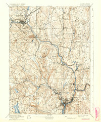
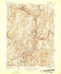
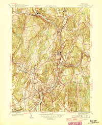
Editions of this 1892 Norwich Map
8 editions found


Historical Maps of Norwich Through Time
10 maps found
1892 Norwich
New London County, CT
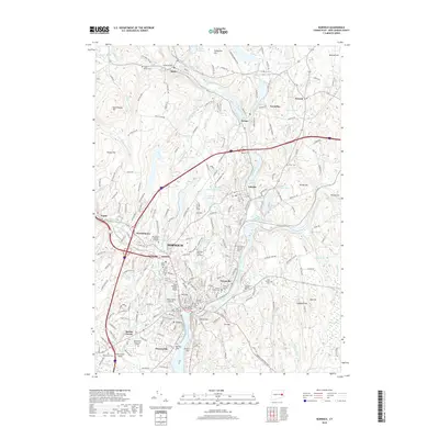
1945 Norwich
New London County, CT
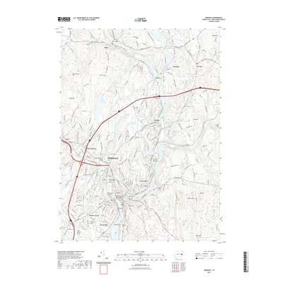
1946 Norwich
New London County, CT
1954 Norwich
New London County, CT
1983 Norwich
New London County, CT
2012 Norwich
New London County, CT
2015 Norwich
New London County, CT
2018 Norwich
New London County, CT
2021 Norwich
New London County, CT
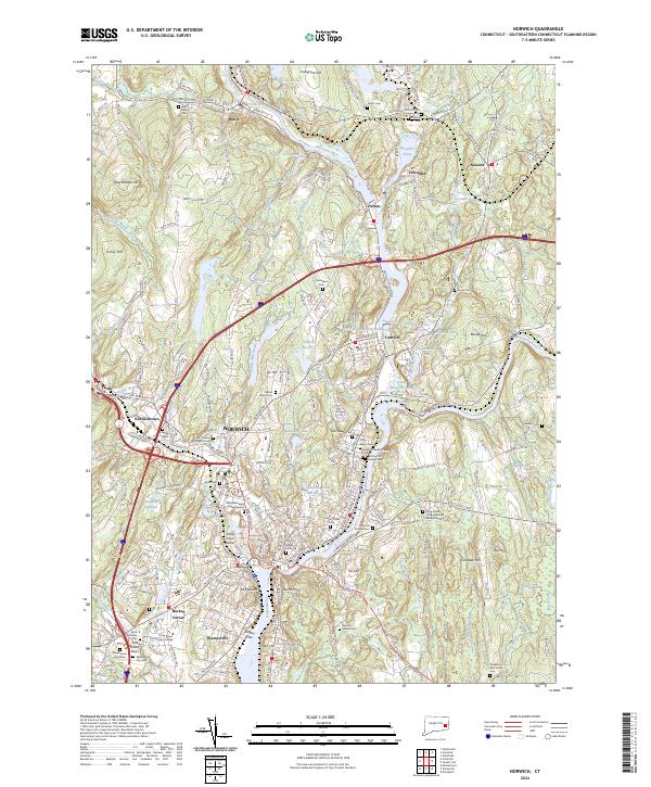
2024 Norwich
New London County, CT