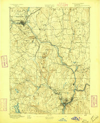
1892 Map of Norwich
USGS Topo · Published 1897About this map
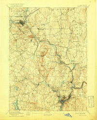
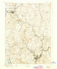
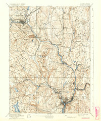
The confluence of the Yantic River and Shetucket River defines the industrial and residential heart of this region during the late nineteenth century. In Norwich, the landscape transitions from the urban density of Greenville and Norwich Town to the prominent textile manufacturing centers of Taftville and Occum further upriver. The era’s reliance on rail transport is evident in the convergence of the New London Northern Railroad and the Norwich and Worcester Railroad, which linked these mill towns to broader markets.
Find a feature on this map
97 named features on this map. Tap any name to fly to it.
Don’t see what you’re looking for? This feature index may not catch every label — zoom into the map to look around manually.
Map Details
Editions of this 1892 Norwich Map
8 editions found
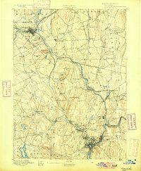
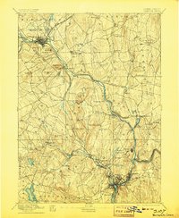
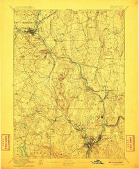
Other maps of this area

1889 · Stonington
USGS Topo · 1:62,500

1889 · Putnam
USGS Topo · 1:62,500

1889 · Moosup
USGS Topo · 1:62,500

1892 · Woodstock
USGS Topo · 1:62,500

1892 · Tolland
USGS Topo · 1:62,500

1892 · New London
USGS Topo · 1:62,500

1892 · Norwich
USGS Topo · 1:62,500

1892 · Gilead
USGS Topo · 1:62,500

1893 · Putnam
USGS Topo · 1:62,500

1893 · Moosup
USGS Topo · 1:62,500