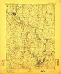
1892 Map of Norwich
USGS Topo · Published 1911About this map
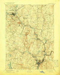
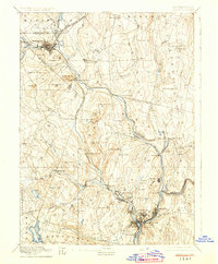
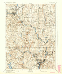
Willimantic and Norwich Town anchor this late nineteenth-century portrait of eastern Connecticut, where the region's промышленный and agricultural character is defined by the convergence of several major river systems. The Willimantic River, Shetucket River, and Yantic River provided the necessary power for mill villages such as Baltic, Versailles, and Occum. The era's transportation infrastructure is clearly delineated by the New London Northern Railroad and the New York and New England Railroad, which trace the river valleys to connect these manufacturing centers. Away from the water, the landscape is punctuated by numerous named heights like Obwebetuck Hill and Hearthstone Hill, reflecting the topographic challenges of the New London and Windham county lines. Notable local landmarks such as the Camp Meeting grounds near South Windham and the rural settlement at Long Society offer specific points of interest for genealogical research into the social fabric of the 1890s.
Find a feature on this map
99 named features on this map. Tap any name to fly to it.
Don’t see what you’re looking for? This feature index may not catch every label — zoom into the map to look around manually.
Map Details
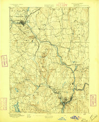
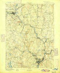
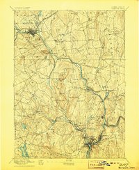
Editions of this 1892 Norwich Map
8 editions found
Other maps of this area

1889 · Stonington
USGS Topo · 1:62,500

1889 · Putnam
USGS Topo · 1:62,500

1889 · Moosup
USGS Topo · 1:62,500

1892 · Woodstock
USGS Topo · 1:62,500

1892 · Tolland
USGS Topo · 1:62,500

1892 · New London
USGS Topo · 1:62,500

1892 · Norwich
USGS Topo · 1:62,500

1892 · Gilead
USGS Topo · 1:62,500

1893 · Putnam
USGS Topo · 1:62,500

1893 · Moosup
USGS Topo · 1:62,500