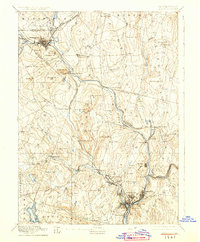
1892 Map of Norwich
USGS Topo · Published 1925About this map
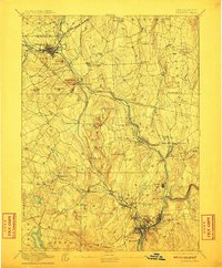
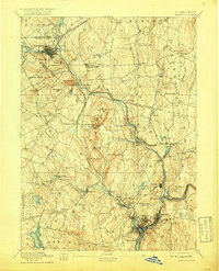
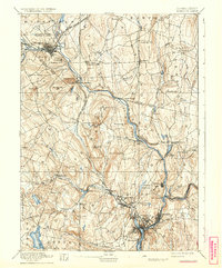
The Thames River and its major tributaries, the Shetucket River and Yantic River, converge at Norwich to create a focal point for the industrial and transport infrastructure of late 19th-century New London County. This 1890s survey illustrates a landscape defined by manufacturing and movement, featuring established textile and mill communities like Taftville, Baltic, and Occum. The convergence of the New York and New England Railroad and the New London Northern Railroad at Willimantic in the north highlights the era's reliance on rail to connect these river-bound hubs. Beyond the industrial corridors, the map traces a network of family-named landmarks and rural settlements, including Windham Center, Lebanon Village, and the Camp Meeting grounds near Prospect Hill. The detailed topography reveals the steep-sided valleys that powered the region's development before modern municipal expansions altered the historic footprint of many smaller villages.
Find a feature on this map
87 named features on this map. Tap any name to fly to it.
Don’t see what you’re looking for? This feature index may not catch every label — zoom into the map to look around manually.
Map Details
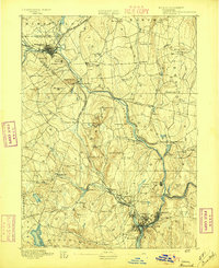
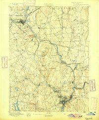
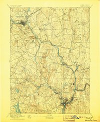
Editions of this 1892 Norwich Map
8 editions found
Other maps of this area

1889 · Stonington
USGS Topo · 1:62,500

1889 · Putnam
USGS Topo · 1:62,500

1889 · Moosup
USGS Topo · 1:62,500

1892 · Woodstock
USGS Topo · 1:62,500

1892 · Tolland
USGS Topo · 1:62,500

1892 · New London
USGS Topo · 1:62,500

1892 · Norwich
USGS Topo · 1:62,500

1892 · Gilead
USGS Topo · 1:62,500

1893 · Putnam
USGS Topo · 1:62,500

1893 · Moosup
USGS Topo · 1:62,500