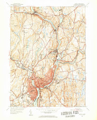
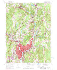
1954 Map of Norwich
USGS Topo · Published 1955About this map
The confluence of the Shetucket River and Quinebaug River forms the industrial and geographic heart of this mid-century portrait of Norwich. The city's dense urban core is extensively detailed, showing a concentration of civic institutions including the Free Academy, Backus Hospital, and several neighborhood schools like the Elizabeth St Sch and Bishop Sch. The surrounding landscape is defined by its water-powered legacy, with numerous reservoirs and ponds such as Taftville Reservoir and Versailles Pond feeding the valleys.
Find a feature on this map
77 named features on this map. Tap any name to fly to it.
Don’t see what you’re looking for? This feature index may not catch every label — zoom into the map to look around manually.
Map Details
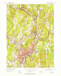
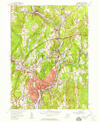
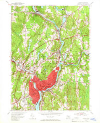
Editions of this 1954 Norwich Map
5 editions found
Other maps of this area

1889 · Stonington
USGS Topo · 1:62,500

1889 · Moosup
USGS Topo · 1:62,500

1892 · New London
USGS Topo · 1:62,500

1892 · Norwich
USGS Topo · 1:62,500

1893 · Moosup
USGS Topo · 1:62,500

1893 · Stonington
USGS Topo · 1:62,500

1893 · New London
USGS Topo · 1:62,500

1920 · Moosup
USGS Topo · 1:62,500

1921 · New London
USGS Topo · 1:62,500

1921 · Stonington
USGS Topo · 1:62,500