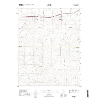
2017 Map of Norwood
USGS Topo · Published 2017About this map
Norwood and Macomb anchor this landscape along the border of Wright and Douglas counties. The area is defined by a dense network of country roads and numerous rural burial grounds, including the Shiloh Cem, Mount Harmon Cem, and Ryan Cem. These sites, often positioned on high ground or near creek drainages, suggest a long-established pattern of dispersed family farms and community clusters typical of the Missouri Ozarks.
Find a feature on this map
92 named features on this map. Tap any name to fly to it.
Don’t see what you’re looking for? This feature index may not catch every label — zoom into the map to look around manually.
Map Details
Editions of this 2017 Norwood Map
This is the sole edition of this map. No revisions or reprints were ever made.
Other maps of this area

1936 · Ava
USGS Topo · 1:48,000

1937 · Buckhart
USGS Topo · 1:48,000

1942 · Ava
USGS Topo · 1:62,500

1943 · Buckhart
USGS Topo · 1:62,500

1945 · Ava
USGS Topo · 1:62,500

1945 · Harrison
USGS Topo · 1:250,000

1945 · Buckhart
USGS Topo · 1:62,500

1949 · Harrison
USGS Topo · 1:250,000

1951 · Norwood
USGS Topo · 1:24,000

1951 · Mountain Grove South
USGS Topo · 1:24,000