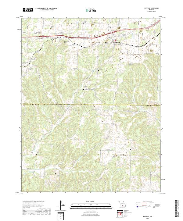
2021 Map of Norwood
USGS Topo · Published 2021About this map
Norwood and Macomb anchor this section of the Ozarks plateau at the border of Wright and Douglas counties. The landscape is defined by the high ground of Mary Gray Hill and Tick Ridge, which separate the various drainages of the Absher Prong and Clark Cr to the north from the deep descent into Samson Hollow to the south. This terrain has historically dictated the settlement patterns, with homesteads and community life clustered around numerous rural burial grounds like Shiloh Cem and Mount Harmon Cem. A dense network of county roads, including Co RD 543 and Co RD 112, navigates the complex system of ridges and hollows, connecting isolated farmsteads to the primary rail and road corridor running through the northern tier.
Find a feature on this map
90 named features on this map. Tap any name to fly to it.
Don’t see what you’re looking for? This feature index may not catch every label — zoom into the map to look around manually.
Map Details
Editions of this 2021 Norwood Map
This is the sole edition of this map. No revisions or reprints were ever made.
Other maps of this area

1936 · Ava
USGS Topo · 1:48,000

1937 · Buckhart
USGS Topo · 1:48,000

1942 · Ava
USGS Topo · 1:62,500

1943 · Buckhart
USGS Topo · 1:62,500

1945 · Ava
USGS Topo · 1:62,500

1945 · Harrison
USGS Topo · 1:250,000

1945 · Buckhart
USGS Topo · 1:62,500

1949 · Harrison
USGS Topo · 1:250,000

1951 · Norwood
USGS Topo · 1:24,000

1951 · Mountain Grove South
USGS Topo · 1:24,000