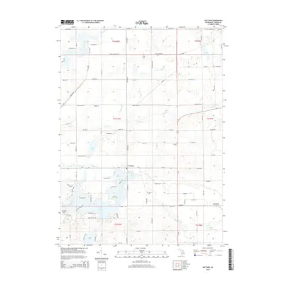
2014 Map of Nottawa
USGS Topo · Published 2014About this map
The Saint Joseph River and the Prairie River define the hydrography of this Saint Joseph County landscape, where small agricultural settlements like Nottawa and Wasepi have long anchored the local community. The area is characterized by a series of glacial lakes and wetlands, notably Lake Templene, Evans Lake, and Demijohn Lake, which provide a contrast to the surrounding grid of farm roads and townships.
Find a feature on this map
63 named features on this map. Tap any name to fly to it.
Don’t see what you’re looking for? This feature index may not catch every label — zoom into the map to look around manually.
Map Details
Editions of this 2014 Nottawa Map
This is the sole edition of this map. No revisions or reprints were ever made.
Other maps of this area

1914 · Three Rivers
USGS Topo · 1:62,500

1916 · Three Rivers
USGS Topo · 1:62,500

1918 · Leonidas
USGS Topo · 1:62,500

1922 · Schoolcraft
USGS Topo · 1:62,500

1943 · Three Rivers
USGS Topo · 1:62,500

1943 · Schoolcraft
USGS Topo · 1:62,500

1944 · Leonidas
USGS Topo · 1:62,500

1947 · Leonidas
USGS Topo · 1:62,500

1950 · Leonidas
USGS Topo · 1:62,500

1953 · Fort Wayne
USGS Topo · 1:250,000