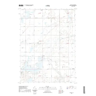
2019 Map of Nottawa
USGS Topo · Published 2019About this map
The Saint Joseph River and the Prairie River define the watery landscape of Saint Joseph County, Michigan, where glacial activity has left a complex network of wetlands and lakes. In the southern reach of the map, the expansive Lake Templene serves as a modern focal point, while smaller water bodies like Evans Lake, Sand Lake, and Demijohn Lake are clustered near the settlement of Nottawa. Educational roots are anchored by Glen Oaks Community College in the southwest, reflecting the modern institutional character of the township.
Find a feature on this map
66 named features on this map. Tap any name to fly to it.
Don’t see what you’re looking for? This feature index may not catch every label — zoom into the map to look around manually.
Map Details
Editions of this 2019 Nottawa Map
This is the sole edition of this map. No revisions or reprints were ever made.
Other maps of this area

1914 · Three Rivers
USGS Topo · 1:62,500

1916 · Three Rivers
USGS Topo · 1:62,500

1918 · Leonidas
USGS Topo · 1:62,500

1922 · Schoolcraft
USGS Topo · 1:62,500

1943 · Three Rivers
USGS Topo · 1:62,500

1943 · Schoolcraft
USGS Topo · 1:62,500

1944 · Leonidas
USGS Topo · 1:62,500

1947 · Leonidas
USGS Topo · 1:62,500

1950 · Leonidas
USGS Topo · 1:62,500

1953 · Fort Wayne
USGS Topo · 1:250,000