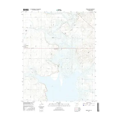
2016 Map of Nowata East
USGS Topo · Published 2016About this map
Oologah Lake dominates the southern landscape of this 2016 survey, where the rising waters of the reservoir meet the historic bottomlands of the Verdigris River. This transition from riverine forest to open water is marked by distinctive terrain features like Slate Bluff and Overcup Bottoms, highlighting the geographic changes brought by twentieth-century water management. To the north, the small community of Coodys Bluff sits near the river, surrounded by several small family and community burial grounds including Riley Cem, Armstrong Cem, and Secondine Cem. The western edge of the map shows the residential outskirts of Nowata, featuring the Nowata Municipal Airport and the junction of Vinita Rd. The network of section-line roads, such as EW 19 Rd and N4180 Rd, provides a clear grid for locating historic farmsteads and landholdings across the Coker Hills and surrounding plains.
Find a feature on this map
49 named features on this map. Tap any name to fly to it.
Don’t see what you’re looking for? This feature index may not catch every label — zoom into the map to look around manually.
Map Details
Editions of this 2016 Nowata East Map
This is the sole edition of this map. No revisions or reprints were ever made.
Other maps of this area

1901 · Nowata
USGS Topo · 1:125,000

1901 · Vinita
USGS Topo · 1:125,000

1913 · Vinita
USGS Topo · 1:125,000

1914 · Nowata
USGS Topo · 1:125,000

1954 · Tulsa
USGS Topo · 1:250,000

1958 · Tulsa
USGS Topo · 1:250,000

1963 · Tulsa
USGS Topo · 1:250,000

1970 · Chelsea
USGS Topo · 1:24,000
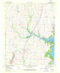
1970 · Talala
USGS Topo · 1:24,000
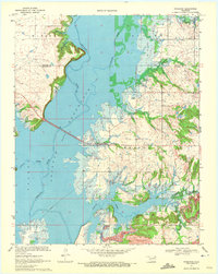
1970 · Winganon
USGS Topo · 1:24,000