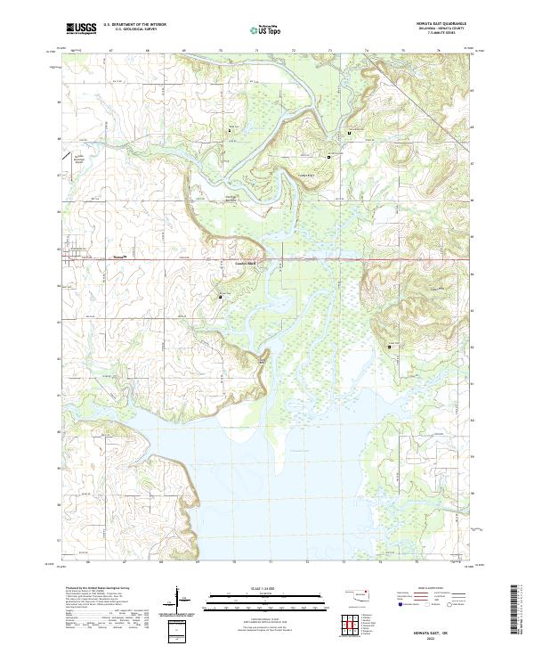
2022 Map of Nowata East
USGS Topo · Published 2022About this map
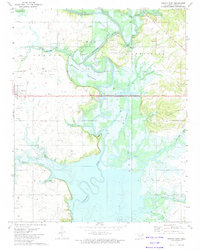
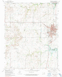
The Verdigris River carves through the heart of this Nowata County landscape, shaping a wide valley of wetlands and bottomlands before draining into the northern reaches of Oologah Lake. To the west, the city of Nowata sits at the edge of the survey, serving as a regional hub anchored by the Nowata Municipal Airport. The eastern terrain rises toward the Coker Hills, while the central lowlands are defined by prominent features like Overcup Bottoms and Slate Bluff.
Find a feature on this map
58 named features on this map. Tap any name to fly to it.
Don’t see what you’re looking for? This feature index may not catch every label — zoom into the map to look around manually.
Map Details
Editions of this 2022 Nowata East Map
This is the sole edition of this map. No revisions or reprints were ever made.
Historical Maps of Nowata Through Time
18 maps found
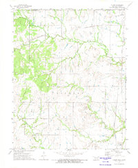
1972 Blue Mound
Nowata County, OK
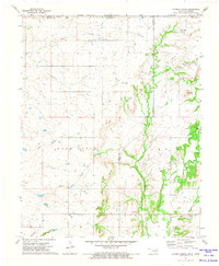
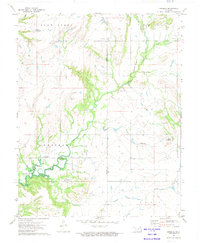
1972 Chelsea NW
Nowata County, OK
1972 Childers
Nowata County, OK
1972 Elliott
Nowata County, OK
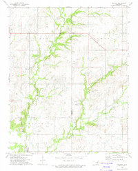
1972 Hayrick Mound
Nowata County, OK
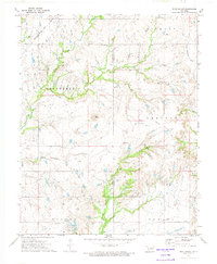
1972 Nowata East
Nowata County, OK
1972 Nowata West
Nowata County, OK
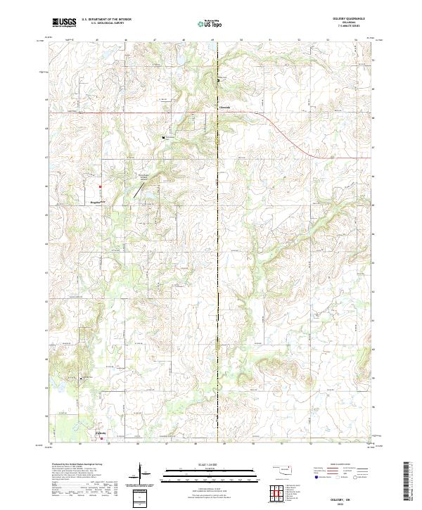
1972 Oglesby
Nowata County, OK
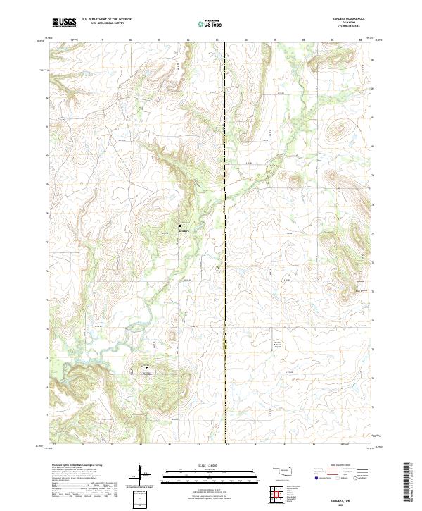
1972 Sanders
Nowata County, OK
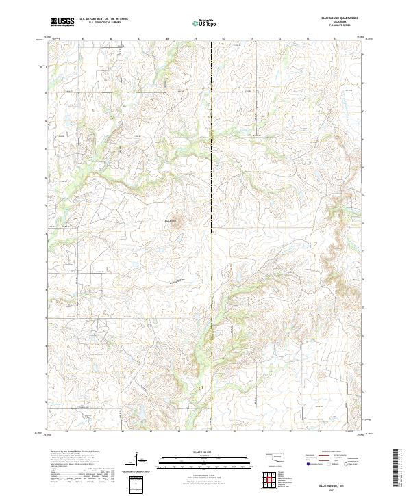
2022 Blue Mound
Nowata County, OK
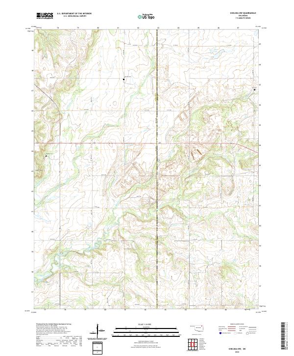
2022 Chelsea NW
Nowata County, OK
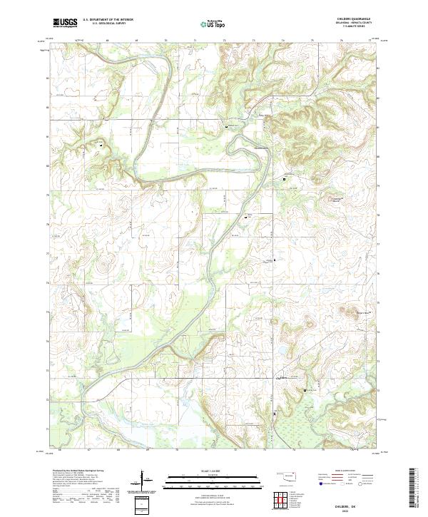
2022 Childers
Nowata County, OK
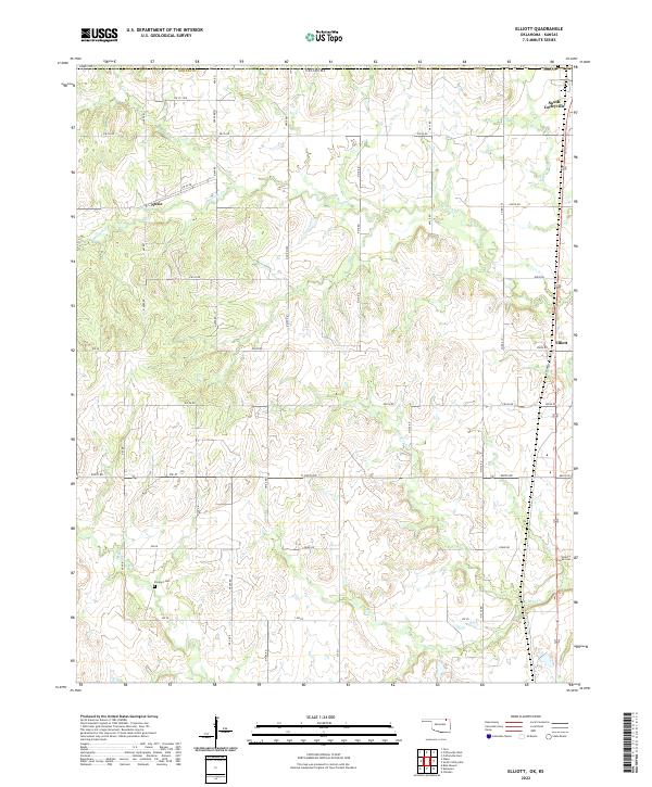
2022 Elliott
Nowata County, OK
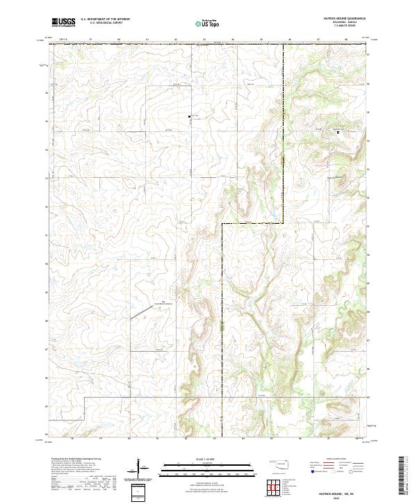
2022 Hayrick Mound
Nowata County, OK
2022 Nowata East
Nowata County, OK
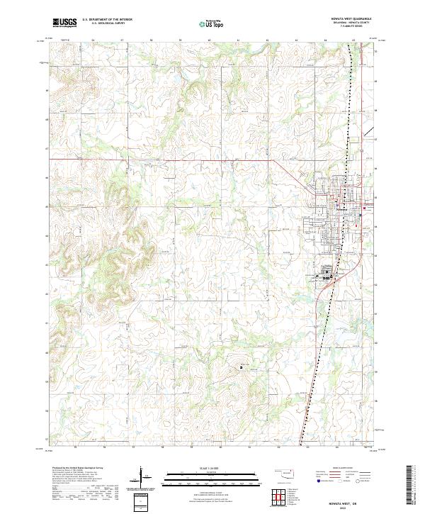
2022 Nowata West
Nowata County, OK
2022 Oglesby
Nowata County, OK
2022 Sanders
Nowata County, OK